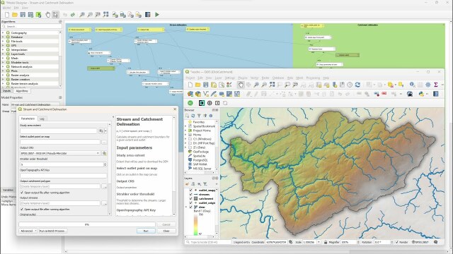
New video: Interactively derive streams & catchments in #QGIS using the graphical modeller. Choose an extent and click on an outlet in the map canvas, the model does the rest. #QGISHydro
https://youtu.be/ZC0skH4ifsI
https://youtu.be/ZC0skH4ifsI

Interactively Derive Streams and Catchments in QGIS Using the Graphical Modeller
In this video we'll create a graphical model that derives the streams and the catchment of a user-defined extent and outlet point. The model automatically do...YouTube