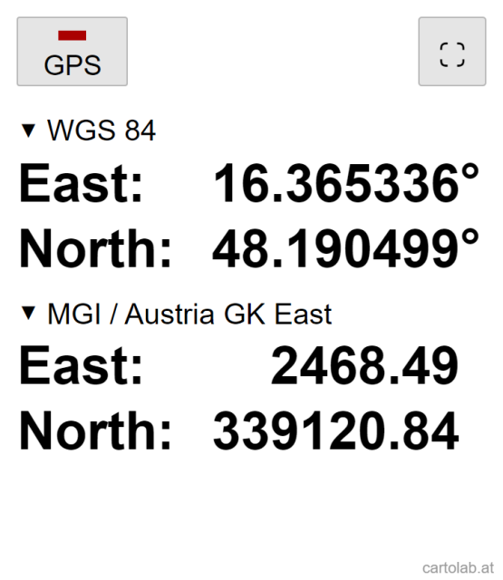
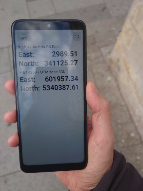
For teaching Coordinate Reference Systems in my GIS/cartography intro course, I made this simple app that can show the current GPS location in two different coordinate systems. It supports all CRS supported by Proj4JS (more than five thousand).
(Yes there is a ton of "coordinate converter" apps out there, but their UI is far too overloaded for my purposes.)
https://cartolab.at/coords/
Source code is available at https://github.com/floledermann/coordinates
#gis #gischat
(Yes there is a ton of "coordinate converter" apps out there, but their UI is far too overloaded for my purposes.)
https://cartolab.at/coords/
Source code is available at https://github.com/floledermann/coordinates
#gis #gischat
GitHub - floledermann/coordinates: Simple web app to show geo coordinates in two different coordinate reference systems
Simple web app to show geo coordinates in two different coordinate reference systems - GitHub - floledermann/coordinates: Simple web app to show geo coordinates in two different coordinate referenc...GitHub
This entry was edited (1 year ago)

