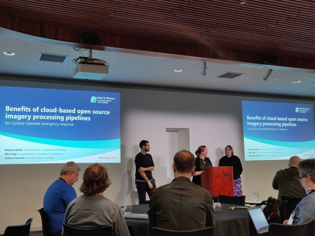
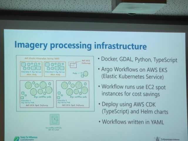
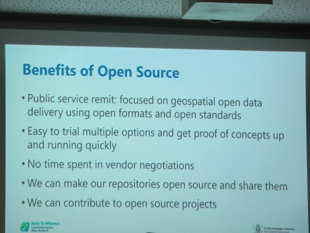
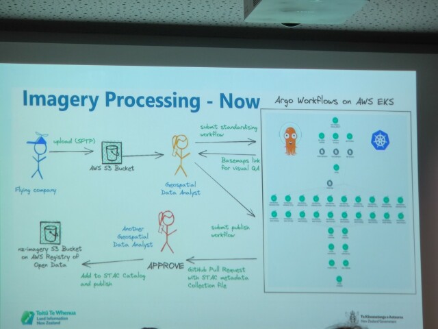
Rebecca Clarke, Alice Fage and Andrew Jacombs presenting on the benefits of cloud-based open source imagery processing pipelines for Cyclone Gabrielle emergency response.
Powerful example of open source use in public service, utilizing cloud-native geospatial standards to speed up satellite imagery processing workflows that is highly valuable in a time-sensitive emergency.
Data at https://registry.opendata.aws/nz-imagery, code at https://github.com/linz/imagery
#FOSS4GOceania2023 #CloudNativeGeospatial
GitHub - linz/imagery: NZ Aerial imagery freely available to use under an open licence
NZ Aerial imagery freely available to use under an open licence - GitHub - linz/imagery: NZ Aerial imagery freely available to use under an open licenceGitHub
Nicolas Roelandt :osgeo: reshared this.


