Search
Items tagged with: foss4goceania2023
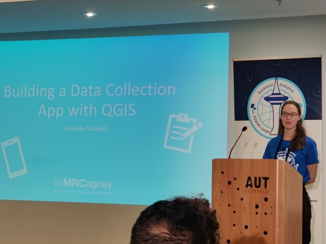
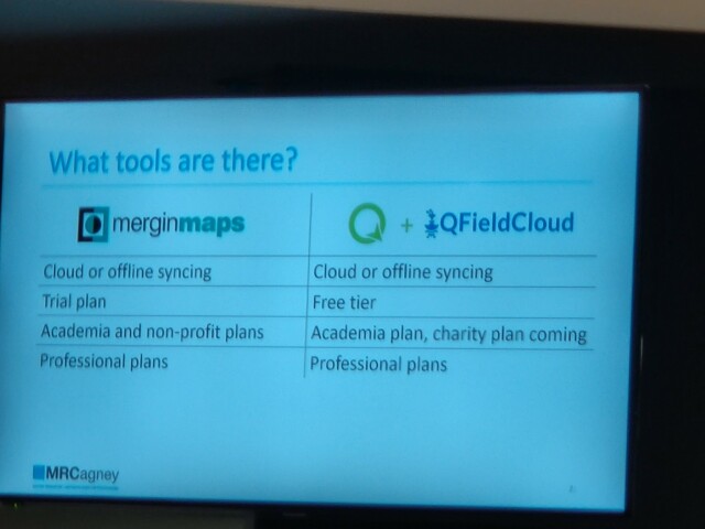
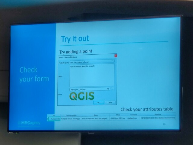
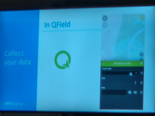
Danielle Gatland presenting on Building a Data Collection App with #QGIS
Steps:
1. Design your survey
2. Setup project
3. Setup data form
4. Check form
5. Sync project
6. Collect data
7. Produce outputs
#FOSS4GOceania2023
Steps:
1. Design your survey
2. Setup project
3. Setup data form
4. Check form
5. Sync project
6. Collect data
7. Produce outputs
#FOSS4GOceania2023
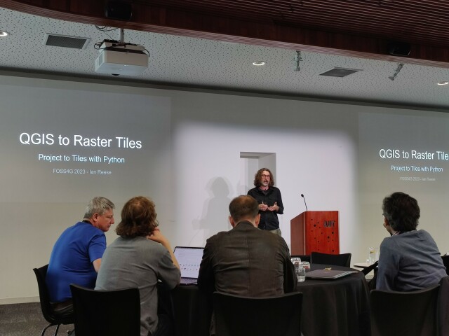
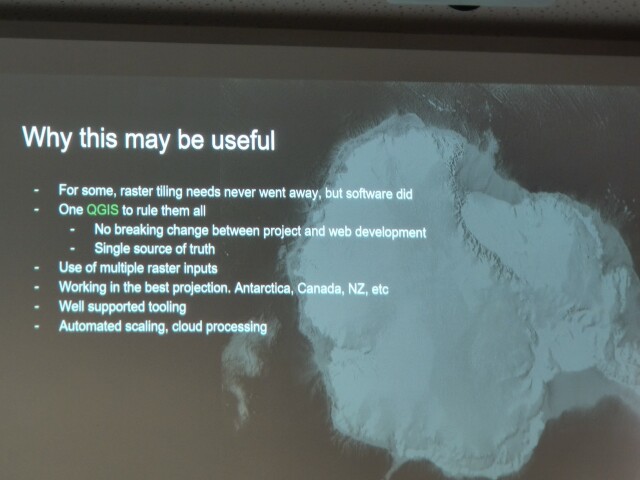
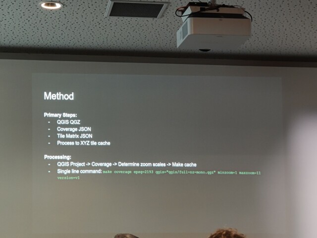
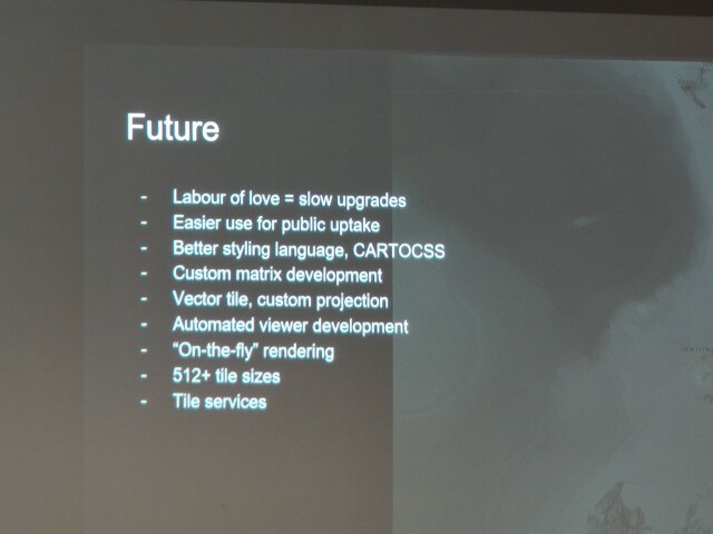
Ian Reese presenting on QGIS to Static Raster Tiles
Epic story of replacing his web mapping stack while dealing with custom projections over the years. From Tilemill and MapProxy, to new solutions - using QGIS?!!
Features:
- Custom projection
- Zoom rules captured
- Multi-core threading
- Coverages (targeted processing)
- WMTS
- Docker/Makefile
- Ease of scaling
Code is at https://github.com/xycarto/qgis-tiles
#FOSS4GOceania2023 #QGIS
GitHub - xycarto/qgis-tiles: QGIS Tiles Demo Site
QGIS Tiles Demo Site. Contribute to xycarto/qgis-tiles development by creating an account on GitHub.GitHub
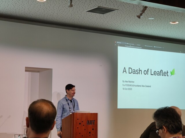
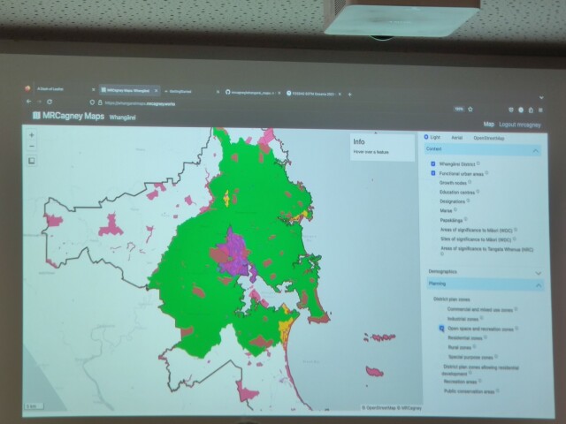
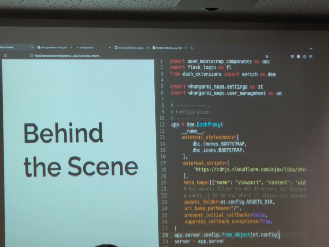
Alex Raichev presenting on A Dash of Leaflet.
A compelling alternative to ArcGIS Online 😜 Write (mostly) in Python! See https://www.dash-leaflet.com
#FOSS4GOceania2023 #Dash #Leaflet
A compelling alternative to ArcGIS Online 😜 Write (mostly) in Python! See https://www.dash-leaflet.com
#FOSS4GOceania2023 #Dash #Leaflet
Dash Leaflet
Dash Leaflet is a wrapper of Leaflet, the leading open-source JavaScript library for interactive maps.www.dash-leaflet.com
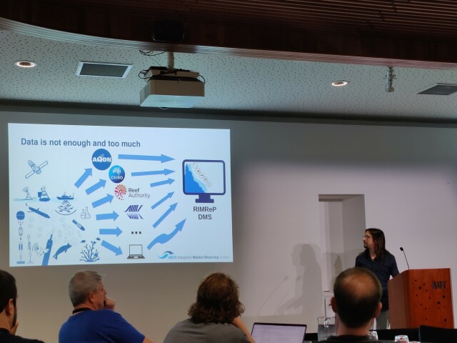
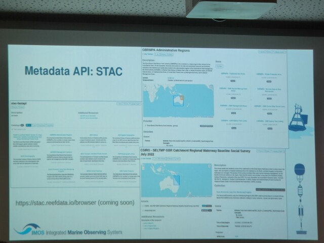
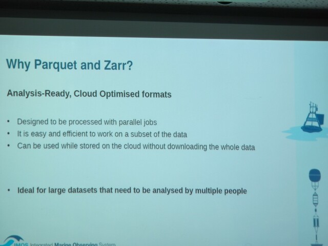
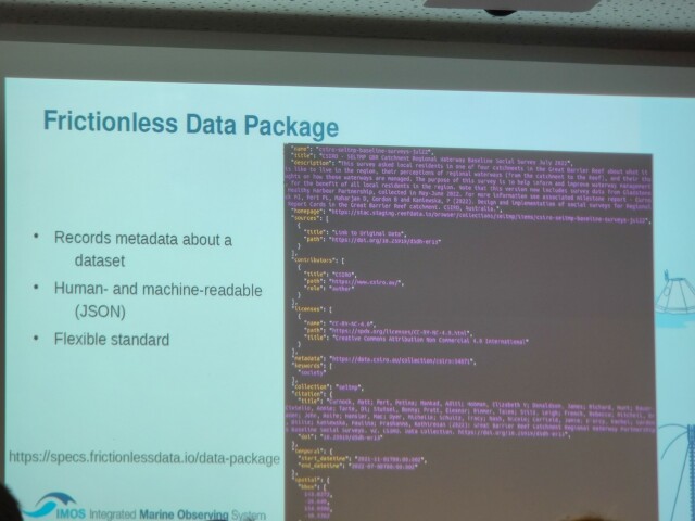
Leo Ghignone presenting on Managing Heterogeneous Spatial Data with Analysis Ready Cloud Optimized formats
Part of the https://imos.org.au project. Good explainer of tabular (Geo)Parquet and raster Zarr datasets. Also mention of handling metadata with https://frictionlessdata.io for tables.
#FOSS4GOceania2023 #ARCO #CloudNativeGeospatial #STAC #GeoParquet @zarr
Part of the https://imos.org.au project. Good explainer of tabular (Geo)Parquet and raster Zarr datasets. Also mention of handling metadata with https://frictionlessdata.io for tables.
#FOSS4GOceania2023 #ARCO #CloudNativeGeospatial #STAC #GeoParquet @zarr
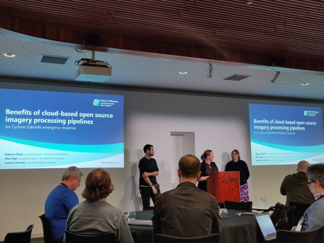
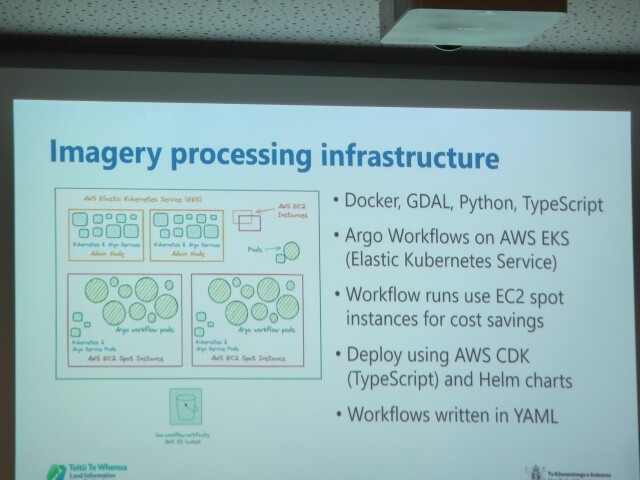
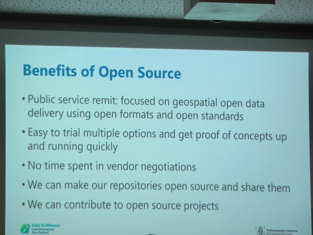
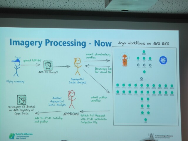
Rebecca Clarke, Alice Fage and Andrew Jacombs presenting on the benefits of cloud-based open source imagery processing pipelines for Cyclone Gabrielle emergency response.
Powerful example of open source use in public service, utilizing cloud-native geospatial standards to speed up satellite imagery processing workflows that is highly valuable in a time-sensitive emergency.
Data at https://registry.opendata.aws/nz-imagery, code at https://github.com/linz/imagery
#FOSS4GOceania2023 #CloudNativeGeospatial
GitHub - linz/imagery: NZ Aerial imagery freely available to use under an open licence
NZ Aerial imagery freely available to use under an open licence - GitHub - linz/imagery: NZ Aerial imagery freely available to use under an open licenceGitHub
