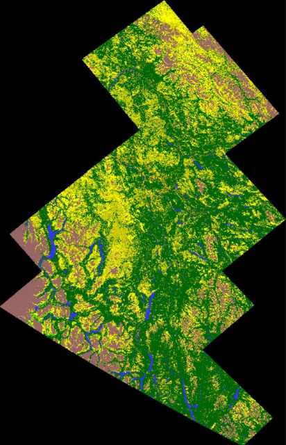
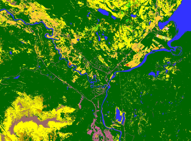
Say hello to our 2022 Crop Inventory Map of the Yukon Territory! #cropmap22
Our 1st map of agriculture & the surrounding landcover in the area, & oh my was it a challenge!
From Dawson City, to Tagish, Whitehorse & Haines Junction & all free to download
https://open.canada.ca/data/en/dataset/ba2645d5-4458-414d-b196-6303ac06c1c9
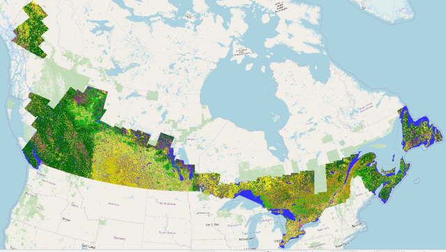
With the completion of our 2022 map of #Yukon #agriculture, here is #cropmap22 in its entirety.


Raúl Nanclares 🍜
in reply to Leander • • •Leander
in reply to Raúl Nanclares 🍜 • • •Raúl Nanclares 🍜
in reply to Leander • • •Leander
in reply to Raúl Nanclares 🍜 • • •During our pre-operational phase in 2009 & 2010 we created maps of only the Prairie provinces (Alberta, Saskatchewan, Manitoba) at 56m, because we used the AWiFS sensor on the Indian Resourcesat satellite as our optical input due to its large swath size.
In 2011 when it was decided to expand out to the rest of Canada we moved to Landsat and 30m because field sizes are smaller in the rest of the country.
We have remained at 30m since then even with adding Sentinel data.