Search
Items tagged with: cropmap22
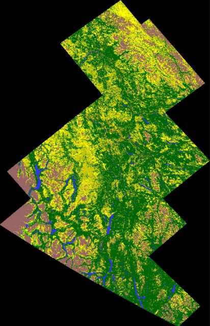
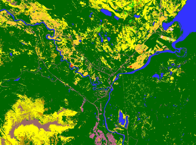
Say hello to our 2022 Crop Inventory Map of the Yukon Territory! #cropmap22
Our 1st map of agriculture & the surrounding landcover in the area, & oh my was it a challenge!
From Dawson City, to Tagish, Whitehorse & Haines Junction & all free to download
https://open.canada.ca/data/en/dataset/ba2645d5-4458-414d-b196-6303ac06c1c9
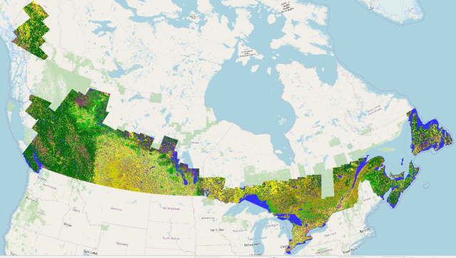
With the completion of our 2022 map of #Yukon #agriculture, here is #cropmap22 in its entirety.
Double your downloads, double your fun!
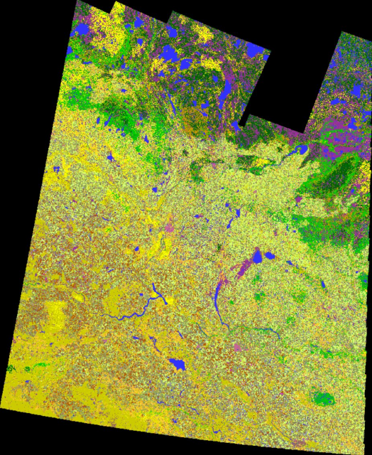
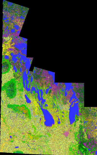
2022 Crop Inventory maps for both Saskatchewan & Manitoba are done. #SKAg #MBAg #WestCdnAg
https://open.canada.ca/data/en/dataset/ba2645d5-4458-414d-b196-6303ac06c1c9
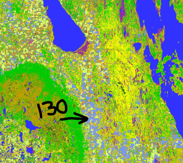
Keen observers will note class 130 in our MB map (periwinkle colour). 130 shows our 'too wet to seed' class.
#CdnAg #cropmap22 #earthobservation #remotesensing #geomatics #agriculture
