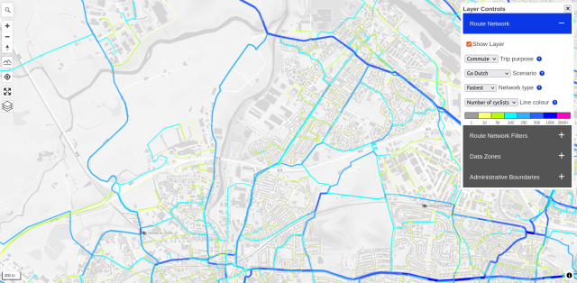
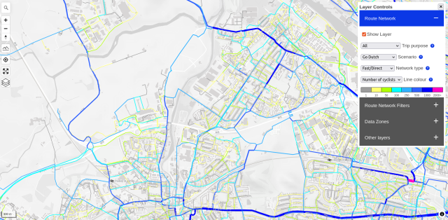
Before and after maps from the Network Planning Tool for Scotland. Spot the difference! Shows the benefits of continuously updated #OpenStreetMap data and regularly updating transport models based on this amazing #OpenAccess and community-generated resource.

