Search
Items tagged with: openstreetmap
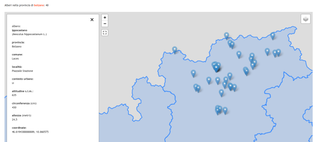
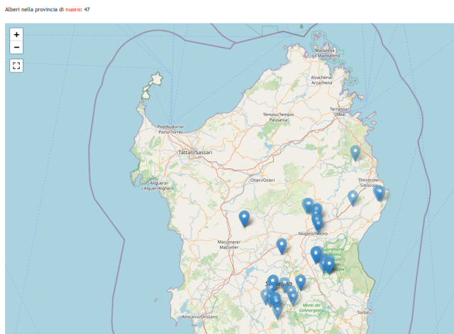
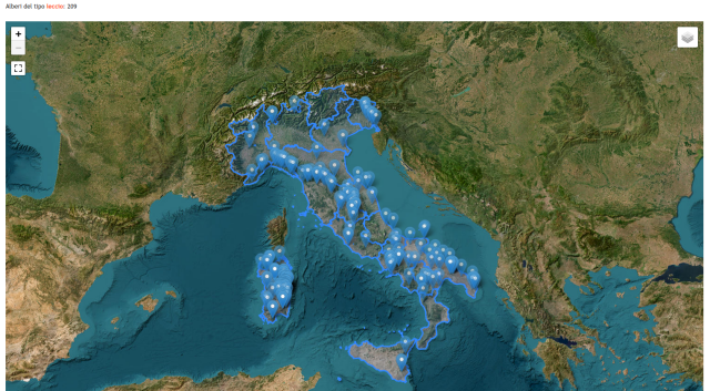
Il mio progetto sugli alberi monumentali italiani è aggiornato:
http://trovawiki.altervista.org/alberi_monumentali.php
Ho riutilizzato il dataset degli alberi censiti dal Ministero per poterli cercare per specie e per provincia.
🌲 🌳 🍃 🍁 🍂 🌴
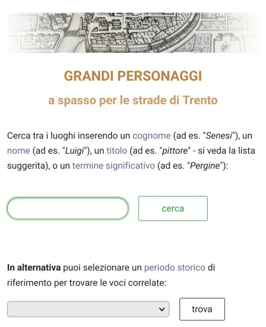
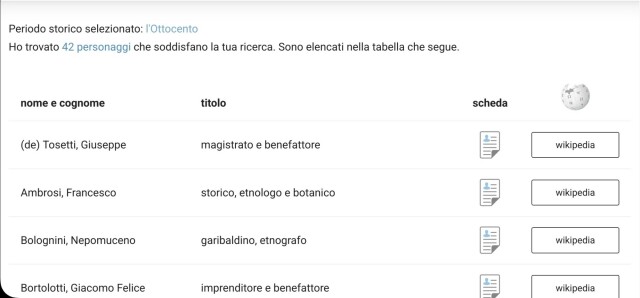
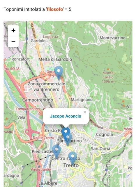
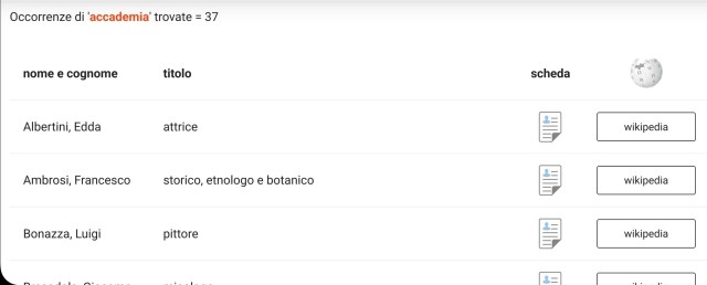
Conosci i personaggi storici a cui sono intitolati i toponimi di Trento?
Ho fatto questo sito per conoscere la loro vita:
https://personaggitrentini.altervista.org/index.php
@scuola @openstreetmap_it
#storia #Trento #OpenStreetMap #scuola
PERSONAGGI TRENTINI
personaggi storici trentini per le vie di Trento e sobborghipersonaggitrentini.altervista.org
Using #Mobilizon is a great way to contribute to #Openstreetmap: if you want to publish an event taking place somewhere you will need OSM to know about that place so you'd naturally driven to contribute the missing places (or run away in frustration)
I'd recommend you to follow me on Mobilizon but I've yet to understand how you can follow the events from all groups I'm part of, if possible
at all ( see https://floss.social/@strk/112778398495575866 )
Ecco le borse di partecipazione per l' #itWikiCon 2024 che si terrà a Padova dal 27 al 29 settembre 2024.
Per incoraggiare la partecipazione all'evento di wikipediani, wikimediani e OSMer italofoni, allo scopo di promuovere e potenziare i progetti Wikimedia e #OpenStreetMap in italiano, @wikimediaitalia Italia e Wikimedia CH hanno costituito un fondo per l'erogazione di borse di partecipazione per sostenere i costi di partecipazione all'evento.
I have a new obsession: OpenStreetMap. It’s like the perfect open world game where you improve the real world by playing.
You can go outside and play “on the ground”, be the first one to add a new bikeway or fix the opening hours of your favorite bakery. Or you can map from the couch by analyzing aerial images. At https://www.hotosm.org they always need volunteers for some humanitarian mapping. It can be as easy as “spot all the buildings in this image.”
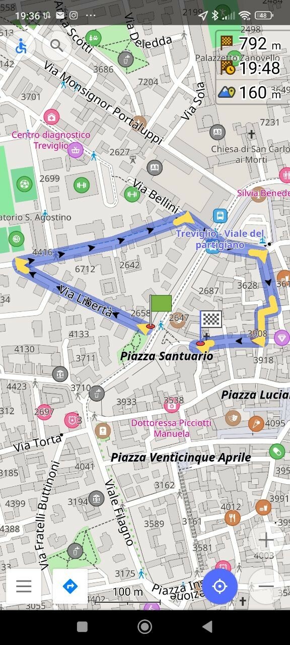
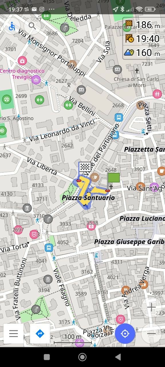
Oggi è stato un pomeriggio prolifico su #OpenStreetMap. Ho aggiunto delle rampe nella piazza pedonale della città confinante e il routing per gli utenti in sedia a rotelle è migliorato sensibilmente.
Thanks to some very helpful feedback #MastodonNearMe now has its own Web page with a more easily viewed data directory: https://jaz.co.uk/projects/mastodon-near-me/
I'll deprecate the Github page and this will be the new home for the text version going forward.
#OpenStreetMap #OSM #mapstodon #umap

Mastodon Near Me
A map and data directory showcasing ActivityPub service providers, each specifically catering to a certain locality or offering support in a notable language.jaz-michael king
There are tons of other sites, many of them very useful like https://www.cyclosm.org #BikeTooter
https://www.openrailwaymap.org/ is a lesser known example but I find it very informative. #ILikeTrains
https://wiki.openstreetmap.org/wiki/List_of_OSM-based_services has so many more.
