Search
Items tagged with: GeographicInformationSystem
RT @Joinup_eu@twitter.com
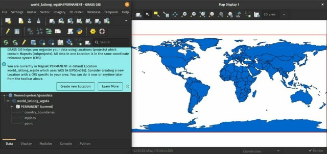
👩💻Looking for a #OpenSource #GeographicInformationSystem that provides powerful raster, vector & #geospatial processing capabilities in a single integrated software suite?
📍Check out the @GRASSGIS@twitter.com latest release ( 8.2.0)!
👉https://europa.eu/!hpHQ63
@underdarkGIS@twitter.com @mapserving@twitter.com
🐦🔗: https://twitter.com/Joinup_eu/status/1608390666517729280

