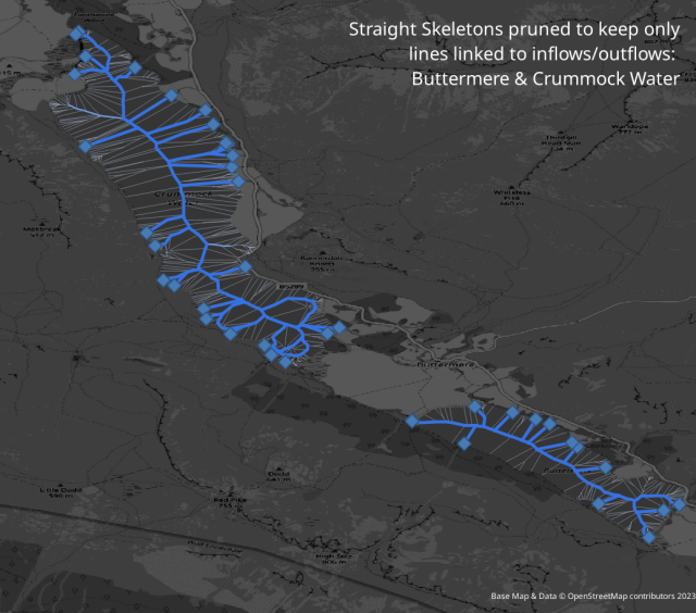
Last day 2 map for #30DayMapChallenge (lines) is related to this day 1 point map https://en.osm.town/@SK53/111337236337206381.
There has been a lot of interest within #OpenStreetMap about the best way to map hydrological networks and particularly if continuity should be kept through lakes.
The map shows progressive stages of pruning a straight skeleton of a couple of lakes retaining lines linked to outflows.
PS. I've played with these before sk53-osm.blogspot.com/2016/10/skeletons-in-water.html
