Search
Items tagged with: pytorch
Road to the Semi-Automatic Classification Plugin v.8 for #QGIS
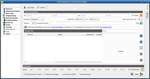
-updated tool for downloading #NASA Harmonized #Landsat and #Sentinel-2 images, as well as #Copernicus Sentinel-2 images.
-unified interface for preprocessing #remotesensing images
-updated classification tool including #machinelearning algorithms: Multi-Layer Perceptron, Support Vector Machine, and Random Forest through #scikitlearn and #PyTorch
https://fromgistors.blogspot.com/2023/09/road-to-semi-automatic-classification-images-classification.html

Road to the Semi-Automatic Classification Plugin v.8: Landsat and Sentinel-2 images download and preprocessing, classification
A blog that goes from GIS to Remote Sensing, tutorials for open source software, Land Cover, and the Semi-Automatic Classification Plugin for QGIS.fromgistors.blogspot.com
