Search
Items tagged with: rotaryinternational
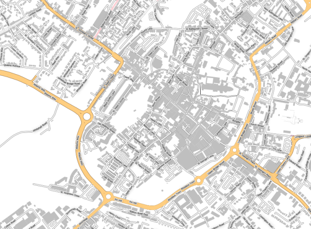
Today, for the first time, I used QGIS [1] and data from OpenStreetMap [2] to generate a map of my local city for a charity event.
Vector files now sent to my friend, a graphic designer, who will build it into posters and a treasure map.
I love that #opensource code and resources allowed me to do this.
[1] https://www.qgis.org/ #qgis
[2] https://www.openstreetmap.org/ @openstreetmap
#rotary #canterbury #rotaryinternational #openstreetmap #kent
OpenStreetMap
OpenStreetMap is a map of the world, created by people like you and free to use under an open license.OpenStreetMap

