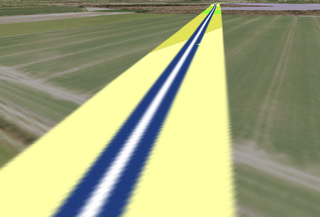
I was experimenting today with #DEM in the 3D view of #QGIS. There was only one problem: Northern Germany is a large flat plain. The highest elevation in #SchleswigHolstein has a height of 167 meters (#Bungsberg). Nevertheless I have some ideas to use 3d data in #QGIS. Is there any recommendable #OpenSource software to create 3d online #maps?
#GIS #GISchat
By the way: This is a screenshot of the #A20. One of the most environmentally and #climate damaging #highway projects in #Germany.
#GIS #GISchat
By the way: This is a screenshot of the #A20. One of the most environmentally and #climate damaging #highway projects in #Germany.
This entry was edited (1 year ago)

Raúl Nanclares 🍜
in reply to GeoDatenGuerilla • • •CesiumJS
OpenLayers
MapLibre (not sure how much 3d mapping capabilities it has)
Kepler.gl
I'm sure there are others, these are the ones I can remember from the top of my head
GeoDatenGuerilla
in reply to Raúl Nanclares 🍜 • • •