Search
Items tagged with: dem
I was experimenting today with #DEM in the 3D view of #QGIS. There was only one problem: Northern Germany is a large flat plain. The highest elevation in #SchleswigHolstein has a height of 167 meters (#Bungsberg). Nevertheless I have some ideas to use 3d data in #QGIS. Is there any recommendable #OpenSource software to create 3d online #maps?
#GIS #GISchat
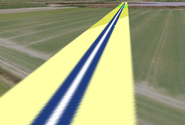
By the way: This is a screenshot of the #A20. One of the most environmentally and #climate damaging #highway projects in #Germany.
#GIS #GISchat
By the way: This is a screenshot of the #A20. One of the most environmentally and #climate damaging #highway projects in #Germany.
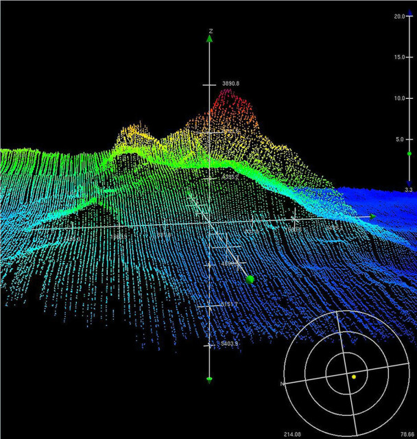
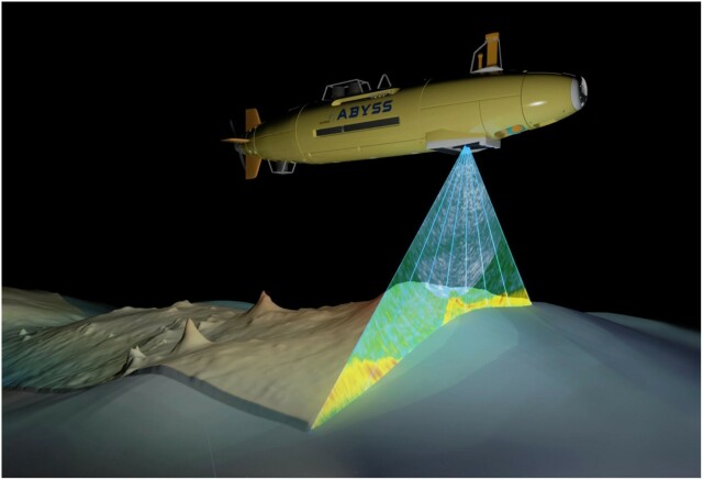
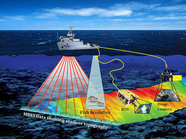
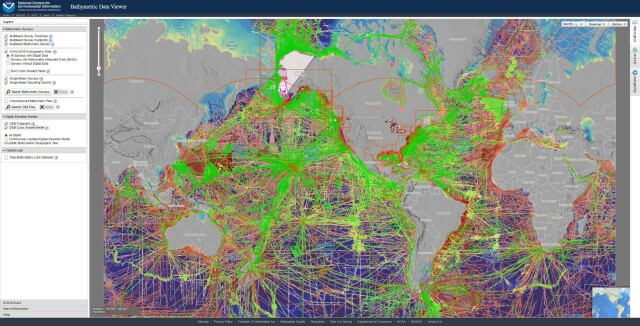
Bathymetric Data Viewer [global, NOAA]
--
https://www.ncei.noaa.gov/maps/bathymetry/ <-- spatial open data web portal
--
“NCEI and the IHO Data Center for Digital Bathymetry (DCDB) archive and share depth data acquired by hydrographic, oceanographic, and industry vessels and platforms during surveys or while on passage. These data, which are used in several national and international mapping bathymetry projects, are free to the public with no restrictions…”
#GIS #spatial #mapping #remotesensing #bathmetry #global #opendata #openaccess #download #NCEI #DCBD #NOAA #elevation #sonar #water #hydrography #hydrospatial #webportal #science #spatialanalysis #DEM #data #digital #multibeam #survey #visualisation #BAG #raster #GEBCO #GMRT #IBSCO #GSHHG
@NOAA @NCEI @GEBCO
--
https://www.ncei.noaa.gov/maps/bathymetry/ <-- spatial open data web portal
--
“NCEI and the IHO Data Center for Digital Bathymetry (DCDB) archive and share depth data acquired by hydrographic, oceanographic, and industry vessels and platforms during surveys or while on passage. These data, which are used in several national and international mapping bathymetry projects, are free to the public with no restrictions…”
#GIS #spatial #mapping #remotesensing #bathmetry #global #opendata #openaccess #download #NCEI #DCBD #NOAA #elevation #sonar #water #hydrography #hydrospatial #webportal #science #spatialanalysis #DEM #data #digital #multibeam #survey #visualisation #BAG #raster #GEBCO #GMRT #IBSCO #GSHHG
@NOAA @NCEI @GEBCO
