Search
Items tagged with: Openstreetmap
The #OSMScience2023 website is now up and running!
You can find the full call and submission link at
https://osmscience.github.io/OSMScience2023/
The submission deadline is 1 Aug '23 - we are looking forward to another year of interesting discussions on the scientific study of/with #openstreetmap
#osm #OSMScience

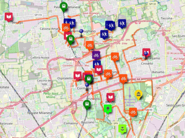
https://stuyts.xyz/2023/06/08/using-qgis-actions-to-add-buildings-from-openstreetmap-to-a-map/
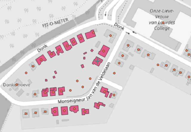
Using QGIS actions to add buildings from OpenStreetMap to a map
QGIS actions and an OpenStreetMap API In april of this year I went to the 2023 QGIS User Conference in 's-Hertogenbosch. At that conference there was a very interesting workshop on using actions in QGIS by Ujaval Gandhi of Spatial Thoughts.stuyts.xyz
 using data copyright
  contributors.
#qgis #maps #OpenStreetMap
"socket:<type>:output"
Du coup, je comprends, par exemple : "socket:chademo:22kw" ?
Help 🙏
#OSM #openstreetmap #lyon #openchargemap
https://wiki.openstreetmap.org/wiki/Key:socket
Yes... this will fix a bug I recently introduced...
More importantly -- this continues the move toward being more flexible! This change has been brewing for a while 🤓
https://github.com/rustprooflabs/pgosm-flex/pull/324
#pgosm #openstreetmap #postgis

Restructuring DB deploy code from Sqitch to managed by Python by rustprooflabs · Pull Request #324 · rustprooflabs/pgosm-flex
Closes #318. As much as I love Sqitch, it isn't appropriate for this use. Sqitch expects what it deploys doesn't change without it knowing. This simply isn't the case with anything deployed via P...GitHub
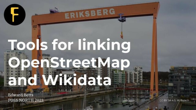
#fossnorth #OpenStreetMap #Wikidata #PresentationSlides #LinkedOpenData
https://commons.wikimedia.org/wiki/File:Foss-north_2023_-_Tools_for_linking_Wikidata_and_OpenStreetMap.pdf
I'll share the answer with the #openstreetmap community if I get one.
https://forum.openstreetmap.fr/t/overture-maps-parlons-en/11616/34
Maybe I should also ask OSMF board ?
cc @simon @amapanda

Overture Maps : parlons-en
Voici la question que j’ai posé sur le formulaire de contact d’overture maps: On your download page you mention that OSM based daylight derivate is used to produce the datasets you offer for download.Forum OSM France
https://versatiles.org/
#opensource #OpenStreetMap
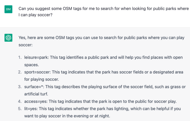
ChatGeoPT: Exploring the future of talking to our maps
In this blog post we walk through some of our initial explorations using AI interfaces to solve geospatial problems. As a vehicle for trying out these ideas, we’ve created ChatGeoPT, a toy Geospatial…Ben Strong (Earth Genome)

