Search
Items tagged with: postgis
#PostGIS upgrade made easy
Build and install from master branch to get it,
report issues on https://trac.osgeo.org/postgis
Happy upgrading !
$ postgis upgrade
upgrading PostGIS in db postgres if needed
upgrading PostGIS in db strk if needed
upgrading PostGIS in db template1 if needed
upgrading PostGIS in db nibio_reg if needed
upgrading PostGIS in db postgis_garden if needed
#PostGIS manual is being translated to multiple languages using
an OSGeo self-hosted instance of #Weblate.
If you want to help translating it to your language you can point your
browser to https://weblate.osgeo.org/projects/postgis/ and login with
your OSGeo UserID credentials (see https://id.osgeo.org).

postgis
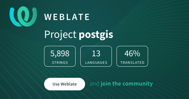
postgis is being translated into 13 languages using Weblate. Join the translation or start translating your own project.OSGeo Weblate
#osgeo #postgis #gischat
PostGIS Rocks!
Every year on the Thursday of the third week of November, we celebrate our favourite spatial databaseJorge Sanz
It is a WIP but I *think* it is functional! Testing and feedback welcome.
This finally became possible b/c pgBouncer added support for prepared statements 🤓
#pgosm #postgis #openstreetmap #gischat
https://github.com/rustprooflabs/pgosm-flex/pull/243
By my count, 12% of all sessions have something to do with Postgres! 🐘 Not bad for a traditionally MS conference 🤓
#postgres #postgis #gischat
https://blog.rustprooflabs.com/2023/10/pass-2023-coming-soon
MobilityDB is also an @osgeo community project
#osgeo #gischat
 , the #GIS
  of the Government of #Guadalajara 🇲🇽 done in the last two years of work (Only the new developments)
Using #FOSS geospatial

#QGIS #Potree #PostGIS #Geoserver #Leaflet #OpenDroneMap #WebODM #WhiteboxTools #Lastools #CloudCompare #GeoSAM
For #LiDAR #webmapping #drones #photogrammetry #cadastral #survey #AI #mobility
#PostGIS #Postgres #PostgreSQL #gischat
https://osm2pgsql.org/examples/raw-data-publication/


