Search
Items tagged with: rasterio
I've been struggling with adding a colormap to a landcover raster. There is https://gdal.org/programs/gdalattachpct.html but apparently it isn't included in the GDAL that comes with QGIS or osgeo4win.
I finally tried using #rasterio, and and am happy to report that it works like a charm! https://rasterio.readthedocs.io/en/stable/topics/color.html#writing-colormaps
I finally tried using #rasterio, and and am happy to report that it works like a charm! https://rasterio.readthedocs.io/en/stable/topics/color.html#writing-colormaps
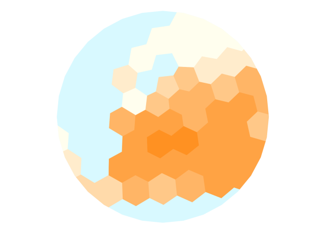
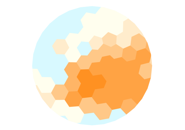
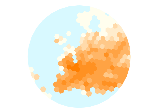
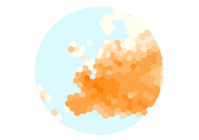
I have been working on a set of hierarchical hexagonal European population projections based on @WorldPopProject using @qgis @geopandas and #rasterio
#DataVisualization
#DataVisualization
Version 1.3.7 of your favorite #python #gis raster data package is here: https://github.com/rasterio/rasterio/releases/tag/1.3.7.
It fixes an off-by-one bug with major impact: the previous #rasterio version was confused about uint64 and int64 data types.
It fixes an off-by-one bug with major impact: the previous #rasterio version was confused about uint64 and int64 data types.

Release 1.3.7 · rasterio/rasterio
Packaging The Python wheels uploaded to PyPI now contain GDAL 3.6.4 and a copy of libtiff with support for LERC compression. Bug fixes The sieve function now accepts as input opened datasets or mu...GitHub
I use #osgeo's #gdal #python bindings throughout my #django app, but hope to transition to #rasterio. I've read you really need to pick one or the other https://rasterio.readthedocs.io/en/stable/topics/switch.html because the underlying GDAL C lib objects get handled differently by each python lib. However, I'm hoping I could write and run some management commands/celery tasks that use rasterio while leaving the rest of the app to use osgeo.gdal for now. Anyone have experience with gotchyas in this environment?

