Search
Items tagged with: Landsat
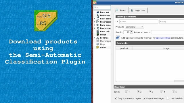
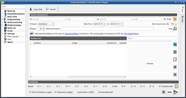
New video tutorial about downloading free satellite images such as #Landsat and #sentinel2 using the Semi-Automatic Classification Plugin for #qgis
https://youtu.be/NwL2f5Nrn3U
https://youtu.be/NwL2f5Nrn3U

Downloading free satellite images using the Semi-Automatic Classification Plugin
Downloading free satellite images using the Semi-Automatic Classification Plugin: the Download product tabSCP Websitehttps://fromgistors.blogspot.com/p/semi-...YouTube
Road to the Semi-Automatic Classification Plugin v.8 for #QGIS
-updated tool for downloading #NASA Harmonized #Landsat and #Sentinel-2 images, as well as #Copernicus Sentinel-2 images.
-unified interface for preprocessing #remotesensing images
-updated classification tool including #machinelearning algorithms: Multi-Layer Perceptron, Support Vector Machine, and Random Forest through #scikitlearn and #PyTorch
https://fromgistors.blogspot.com/2023/09/road-to-semi-automatic-classification-images-classification.html

Road to the Semi-Automatic Classification Plugin v.8: Landsat and Sentinel-2 images download and preprocessing, classification
A blog that goes from GIS to Remote Sensing, tutorials for open source software, Land Cover, and the Semi-Automatic Classification Plugin for QGIS.fromgistors.blogspot.com
The Semi-Automatic Classification Plugin for #qgis will be released in October 2023.
This new version will improve the capabilities of Semi-Automatic Classification Plugin, based on a completely new #python processing framework that is Remotior Sensus, developed for image classification such as #landsat #sentinel2 , #machinelearning and #gis spatial analyses.
https://fromgistors.blogspot.com/2023/07/Semi-AutomaticClassificationPluginReleaseDate.html
Semi-Automatic Classification Plugin v.8 Release Date
A blog that goes from GIS to Remote Sensing, tutorials for open source software, Land Cover, and the Semi-Automatic Classification Plugin for QGIS.fromgistors.blogspot.com
You’ve probably seen artists’ renderings of #Landsat satellites in orbit... but how about an *actual image* of a satellite in orbit?
Thanks to Maxar, we now have images of Landsat 8 orbiting Earth from the WorldView-3 satellite.
Enjoy! 🛰️
Thanks to Maxar, we now have images of Landsat 8 orbiting Earth from the WorldView-3 satellite.
Enjoy! 🛰️
