Search
Items tagged with: QGIS
🌍 Play Snake in QGIS Using Your Country Map!
Check out the Viper (QGIS snake clone) plugin by Viper MiniQ and bring this classic game to life using QGIS!
#QGIS #QGISCyprus #snakegame #gisfun
https://youtu.be/tILHWWvOHrk?feature=shared
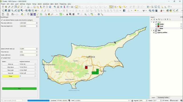
Play Snake in QGIS Using Your Country Map!
► 🌍 Subscribe: https://bit.ly/39MUB8x► 🌍 For more information: https://mariosmsk.com/**************Playlists********************► 🌍 Cyprus: https://bit.ly...YouTube
Here are some interesting things that I learned about #sqlite WAL mode this morning while debugging a #GeoPackage issue:
+ #QGIS opens GeoPackages in WAL mode
+ WAL mode persists, so subsequent connections from any application will be in WAL mode
+ Calling `PRAGMA journal_mode=DELETE;` turns off WAL mode and cleans up `-wal` and `-shm` files
+ WAL mode does not work across network file systems (or, in my case, between #WSL and Windows)
The docs are worth reading:
☝️ We are starting in one hour with
"How to Make a Beautiful #3D Georeferenced #Map using #QGIS and #Blender" by Hemed Lungo
followed by
"QGIS Plugin AIAMAS - #AI-Assisted Map Styler" by @sfkeller
#GISChat #Mapping #Geospatial #QOD #QGISOpenDay #AIAssisted #AIAssistedMap
Glad to hear that @timlinux already covered the #QGIS introduction yesterday 👍
#HEREmaps #GISChat #SpatialDataScience #MobilityDataScience
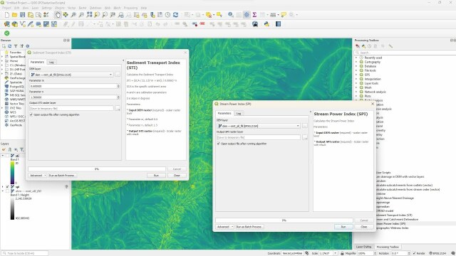
Calculate the Stream Power Index and Sediment Transport Index with PCRaster Tools in QGIS
This video shows how to calculate two geomorphological indices that are useful for estimating erosion potential. The first one is the Stream Power Index (SPI...YouTube
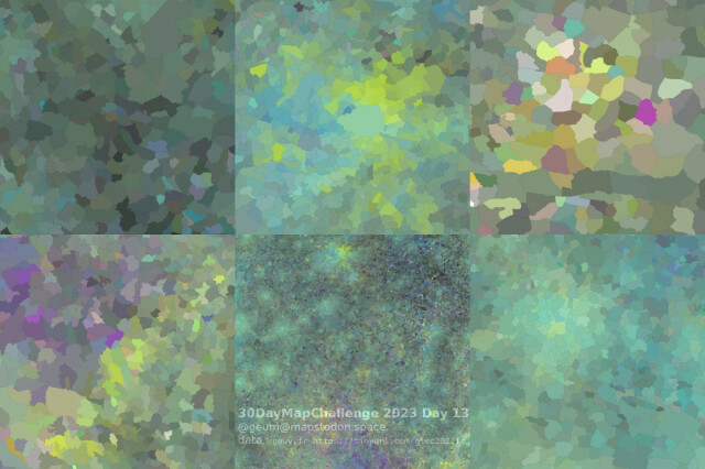
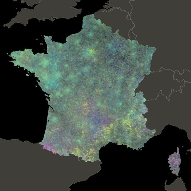
Élections présidentielles (tour 1) 2022, FR. Chloroplèthe à 4 composantes CMYK, 4 orientations politiques.
De belles répartitions apparaissent : des contrastées, des concentriques, des bariolées, et de bien sombres (sans parti pris !). Les géographes doivent se faire plaisir avec de telles données.
Une expression #qgis sur https://github.com/xcaeag/30DayMapChallenge-2023#jour-13--choropleth
GitHub - xcaeag/30DayMapChallenge-2023: 30 days, 30 maps
30 days, 30 maps. Contribute to xcaeag/30DayMapChallenge-2023 development by creating an account on GitHub.GitHub
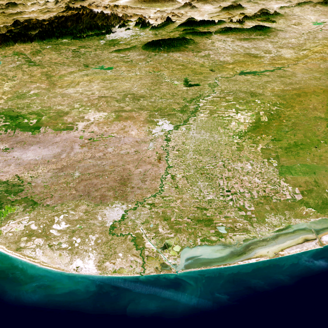
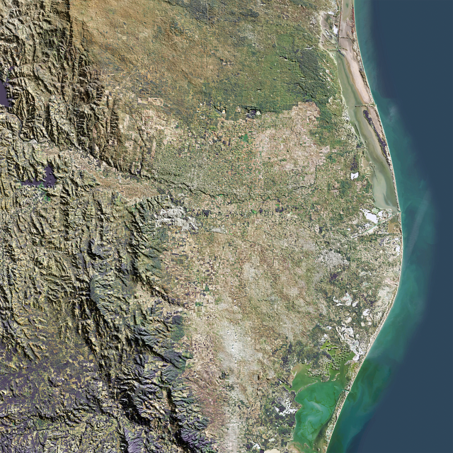
Interested in making these sorts of images, check out my tutorial - https://youtu.be/PFKnCzMoQbc?si=yLUKXr479h8GhgHK
Creating Textured 3D Terrains with QGIS and Blender
Open Source Digital Heritage is a new tutorial series introducing the use of various open source software as used by the heritage industry. These lessons wil...YouTube
Thank you for your patience

