Search
Items tagged with: earthobservation
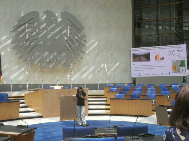
So make sure your data is correct.
With the future data validation environment DAVALIEN, you can ensure that the data you produce is correct and remains correct.
https://www.eomasters.org/davalien
#eo #remotesensing #earthobservation
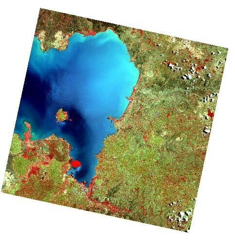
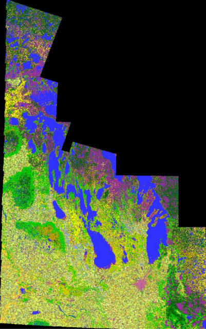
Does anyone on #Mastodon have experience working with it? What are the best pre-processing (incl. #cloudmasking) algorithms? For all other #geospatial folks: can you guess which part of #Earth this image represents?
#EOchat #earthobservation
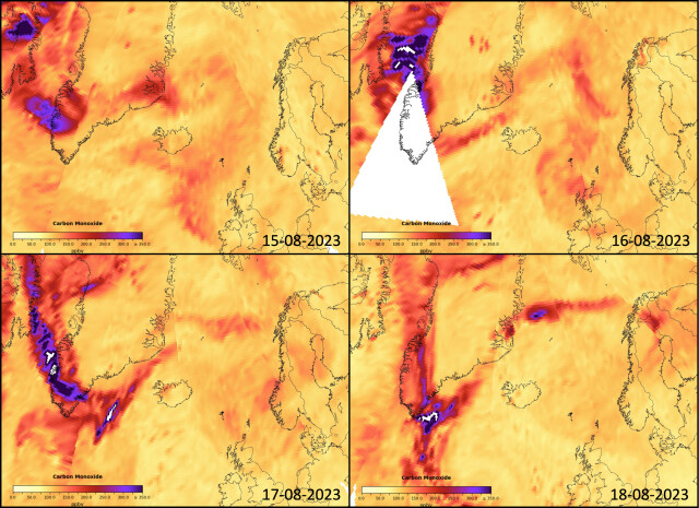
People in #gischat #EarthObservation and #RemoteSensing what are the best satellite products to follow smoke likes this besides the above. Aerosol depth perhaps?
#DLR #Copernicus #earthobservation
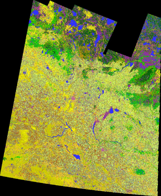
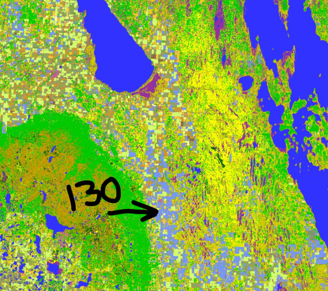
2022 Crop Inventory maps for both Saskatchewan & Manitoba are done. #SKAg #MBAg #WestCdnAg
https://open.canada.ca/data/en/dataset/ba2645d5-4458-414d-b196-6303ac06c1c9
Keen observers will note class 130 in our MB map (periwinkle colour). 130 shows our 'too wet to seed' class.
#CdnAg #cropmap22 #earthobservation #remotesensing #geomatics #agriculture
At the moment this episode goes up the deal isn't closed, so many topics cannot be discussed. It doesn't change the story of these projects & how Sinergise got to where it is today
You can watch the full interview here: https://youtu.be/z713Pc_Ml0U
#geospatial #maps #remotesensing #earthobservation
Grega Milčinski: Making Free & Open Satellite Imagery Actually Accessible - MBM#42
Support the podcast on Patreon: https://www.patreon.com/mindsbehindmapsGrega Milčinski is the founder of Sinergise, the company behind Sentinel Hub & EO Brow...YouTube
Copernicus Data Space Ecosystem
Welcome to Copernicus Data Space Ecosystem, a free and open ecosystem that provides instant access to a wide range of data and services from the Copernicus Sentinel missions and more on our planet’s land, oceans and atmosphere.dataspace.copernicus.eu


