Search
Items tagged with: leaflet
Here is an update on my side project #mapstyler.
The app allows you to easily create styles for vector datasets based on the Mapbox Style Specification. You can host the styles on a server and easily import them into your #geo #webapp running #openlayers, #leaflet or any other library that supports style json's.
I worked on implementing styling based on property filters. Check out demo below.
It's work in progress. Will put this online in near future.
#gischat #OGC #gis #buildinpublic
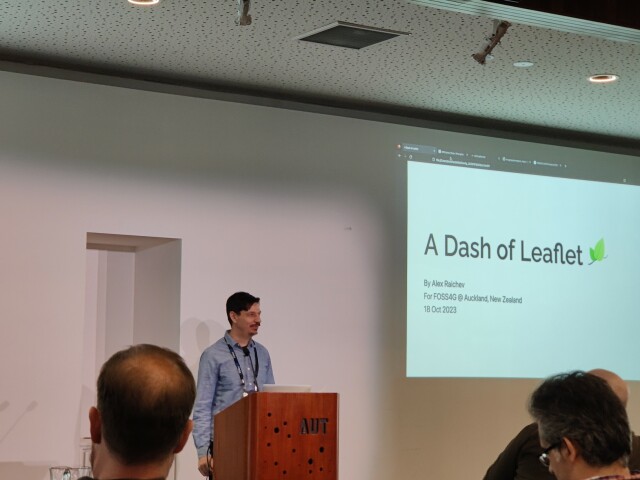
Alex Raichev presenting on A Dash of Leaflet.
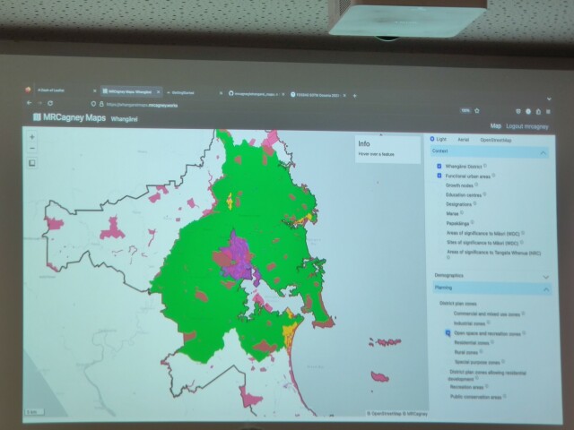
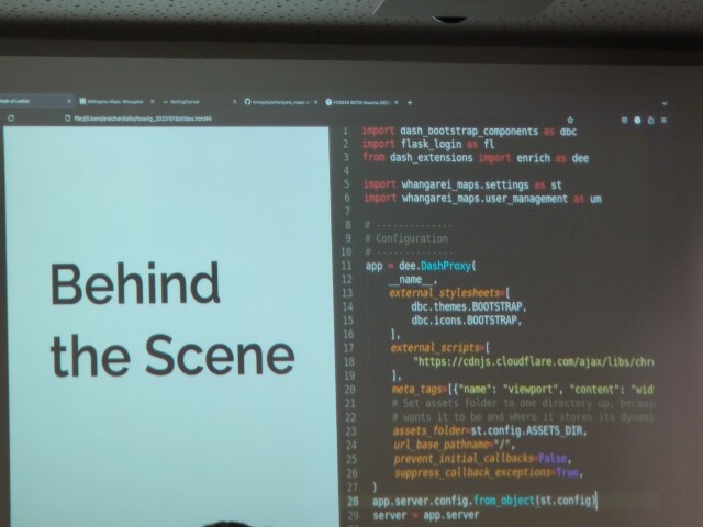
A compelling alternative to ArcGIS Online 😜 Write (mostly) in Python! See https://www.dash-leaflet.com
#FOSS4GOceania2023 #Dash #Leaflet
A compelling alternative to ArcGIS Online 😜 Write (mostly) in Python! See https://www.dash-leaflet.com
#FOSS4GOceania2023 #Dash #Leaflet
Dash Leaflet
Dash Leaflet is a wrapper of Leaflet, the leading open-source JavaScript library for interactive maps.www.dash-leaflet.com
Tomorrow at the University of Guanajuato, within the "Engineering Week" event, I will be presenting, as part of the Official QGIS Mexico User Group  , the #GIS
  of the Government of #Guadalajara 🇲🇽 done in the last two years of work (Only the new developments)
Using #FOSS geospatial
#QGIS #Potree #PostGIS #Geoserver #Leaflet #OpenDroneMap #WebODM #WhiteboxTools #Lastools #CloudCompare #GeoSAM
For #LiDAR #webmapping #drones #photogrammetry #cadastral #survey #AI #mobility
 , the #GIS
  of the Government of #Guadalajara 🇲🇽 done in the last two years of work (Only the new developments)
Using #FOSS geospatial

#QGIS #Potree #PostGIS #Geoserver #Leaflet #OpenDroneMap #WebODM #WhiteboxTools #Lastools #CloudCompare #GeoSAM
For #LiDAR #webmapping #drones #photogrammetry #cadastral #survey #AI #mobility
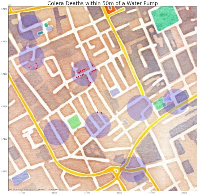
Happy #GISDay !! I will mark this celebration with my favorite map - the cholera cases from #JohnSnow , recreated. I guess this is how it all began... #GISDay2022 #GIS #datascience #leaflet


