Search
Items tagged with: iceland
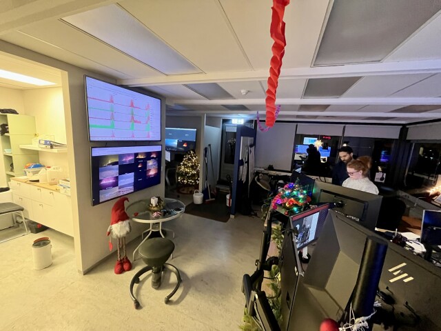
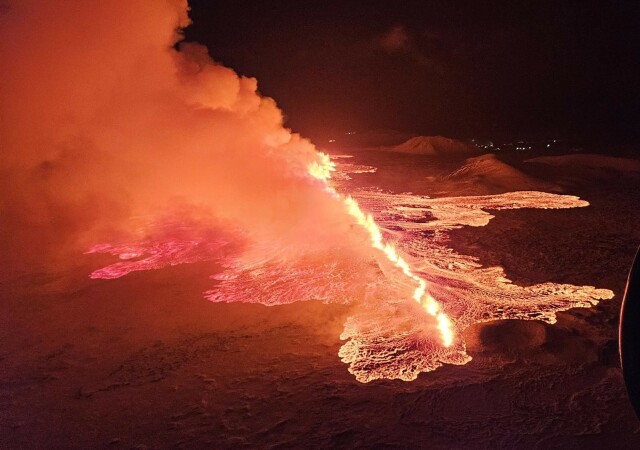
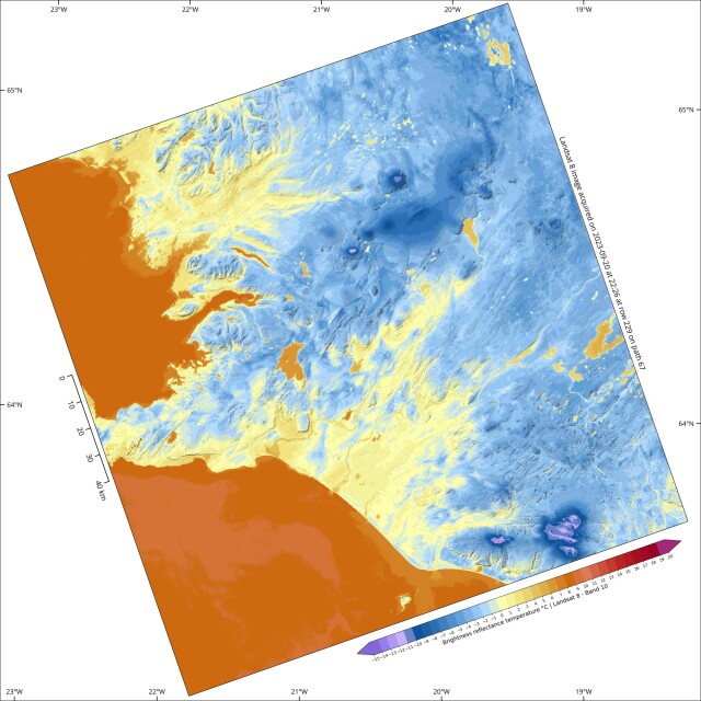
The fourth eruption on the Reykjanes peninsula started at 22:17 this evening. I anticipate a long night and lots of #GIS work here at the Icelandic Met Office.
Photos:
- Kids asleep, getting back to work
- IMO monitoring room
- Image from a colleague hovering above the eruption
.
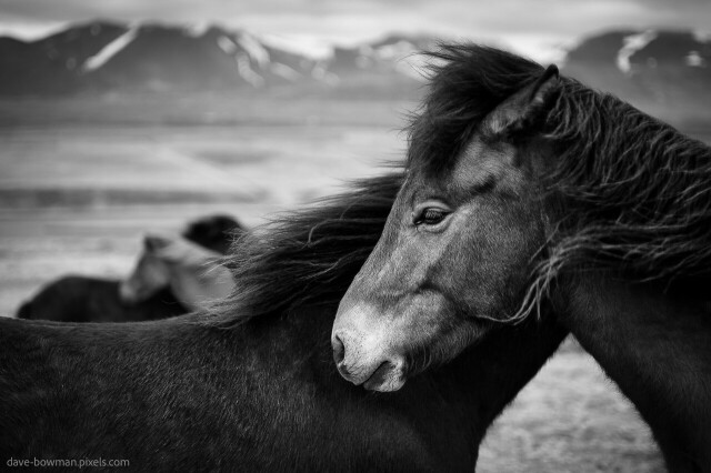
Icelandic Horses keep each other company on a blustery day.
.
For Prints:
https://dave-bowman.pixels.com/featured/icelandic-horses-dave-bowman.html
.
#BuyIntoArt #GiftThemArt #ArtMatters #AYearofArt #artistonmastodon #FindArtThisSummer #blackandwhitephotography #iceland #horses #wildlifephotography #davebowmanphotography
#Albania
#Andorra
#Austria
#Belarus
#Belgium
#Bosnia & Herzegovina
#Bulgaria
#Croatia
#Czechia
#Denmark
#Estonia
#Finland
#France
#Germany
#Greece
#Hungary
#Iceland
#Ireland
#Italy
#Latvia
#Liechtenstein
#Lithuania
#Luxembourg
#Macedonia
#Moldova
#Monaco
#Montenegro
#Netherlands
#North Macedonia
#Norway
#Poland
#Portugal
#Romania
#Russia
#San Marino
#Serbia
#Slovakia
#Slovenia
#Spain
#Sweden
#Switzerland
#UK
#Ukraine
#Vatican
elsewhere?

