Search
Items tagged with: OGC
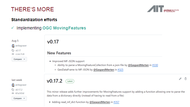
But I did remember the new and improved #OGC #MovingFeatures #MFJson support and our plans for #MEOS / #MobilityDB integration
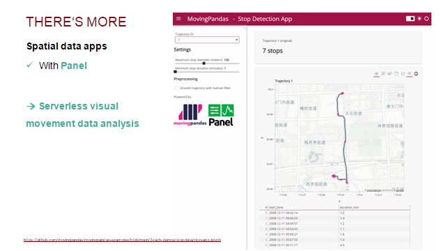
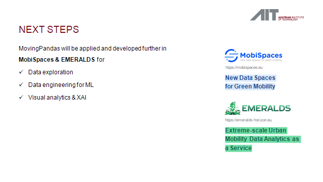
#MobiSpaces #EMERALDS #Panel #Holoviz #Holoviews
https://linked-sdi.com/
#LinkedData #SemanticWeb #GeoSPARQL #SDI
The app allows you to easily create styles for vector datasets based on the Mapbox Style Specification. You can host the styles on a server and easily import them into your #geo #webapp running #openlayers, #leaflet or any other library that supports style json's.
I worked on implementing styling based on property filters. Check out demo below.
It's work in progress. Will put this online in near future.
#gischat #OGC #gis #buildinpublic
#PostGIS #Postgres #PostgreSQL #gischat
https://osm2pgsql.org/examples/raw-data-publication/
"Hallo nochmal, mein Name ist actinia. Ich bin eine REST API für GRASS GIS, die die Verwaltung und Visualisierung von Locations, Mapsets und Geodaten sowie die Ausführung von GRASS GIS Modulen ermögli
https://media.ccc.de/v/fossgis2023-23477-neues-von-actinia #ccc #OffeneStandards #fossgis2023 #z.B.INSPIRE #23477 #2023 #OGC
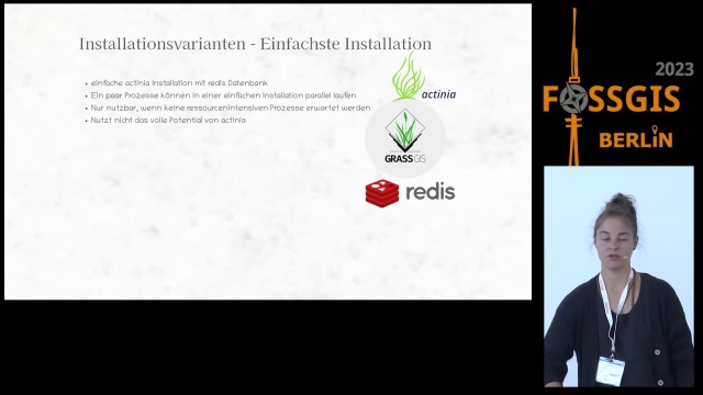
Neues von actinia
"Hallo nochmal, mein Name ist actinia. Ich bin eine REST API für GRASS GIS, die die Verwaltung und Visualisierung von Locations, Mapsets ...media.ccc.de
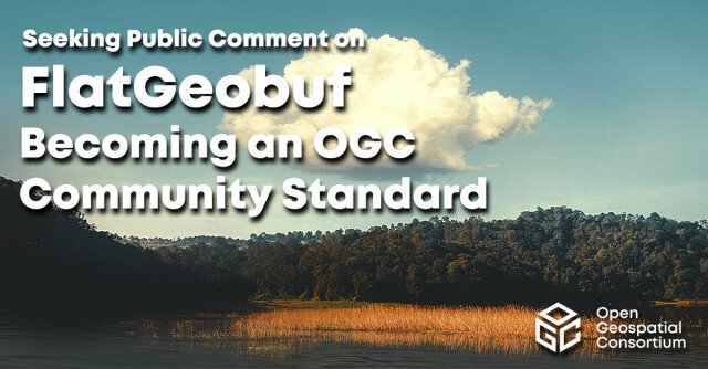
>FlatGeobuf is a performant binary encoding for geographic data that works well as a “cloud native” lossless format for vector data.
#geospatial #ogc #flatgeobuf
