Search
Items tagged with: maps
Check out @foss4g's channel https://youtube.com/@FOSS4G if you want to catch up with the latest #opensource #gis developments
#gischat #geospatial #mapping #maps
https://www.youtube.com/watch?v=bvJsK_P-7Ac
#cartography #qgis #gischat #geospatial
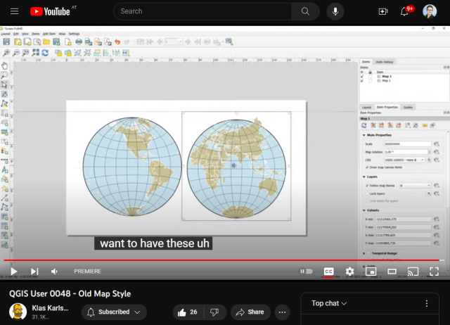
QGIS User 0048 - Old Map Style
Recreating a map style from old double hemisphere maps in azimuthal projections.Download the project GeoPackage: https://github.com/klakar/geosupportsystem/b...YouTube
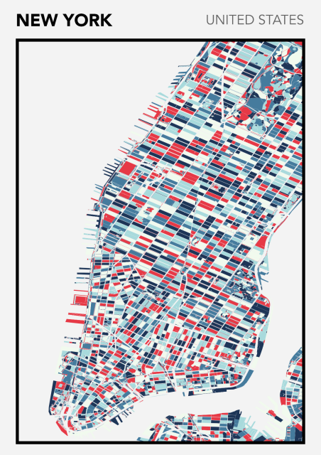
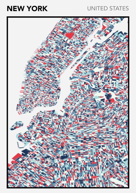
Come on, let's move on. This time, New York 🇺🇸 This kind of map shows the urban blocks of cities. Clearly, New York's urban planning, its regular blocks, gives a striking checkerboard feel ♟️ 🗺️
https://www.redbubble.com/studio/promote/148736419
#QGIS #Map #Maps #Colors #Art #Redbubble #artforsale #mapstodon
Goto https://press.uchicago.edu/books/HOC/index.html and click the link for volume 4.
WOW WOW WOW
The prettiest of all the volumes, if I say so myself. All thse mss in full color!
#maphistory #cartography #maps #18thcentury #17thcentury
History of Cartography: Volumes One, Two, and Three
A website for free access to the History of Cartography, Volumes One, Two, and Three, in PDF format.press.uchicago.edu
A curated list of Mastodon accounts to follow if you're interested in #cartography, #maps, #geoviz'ualisation, visual aspects of #GIS and #geography etc. – 172 active accounts as of today!
Maybe a good way to get your feed going if you are #newhere…
https://cartolab.at/cartography-on-mastodon/
Let me know if you want to be included/removed or feel misrepresented. #gischat
ADAPTATION OF #QGIS
 TOOLS IN #HIGHSCHOOL #GEOGRAPHY #EDUCATION by
V. Pivarníková and J. Trojan
https://isprs-archives.copernicus.org/articles/XLVIII-4-W7-2023/161/2023/
Full list: https://isprs-archives.copernicus.org/articles/XLVIII-4-W7-2023/
#gischat #gis #geospatial #maps
https://zelonewolf.github.io/openstreetmap-americana/#map=4/50.56/9.16&language=ga
#irish #gaeilge #map #maps #gischat #geo #ireland #OSM
 using data copyright
  contributors.
#qgis #maps #OpenStreetMap
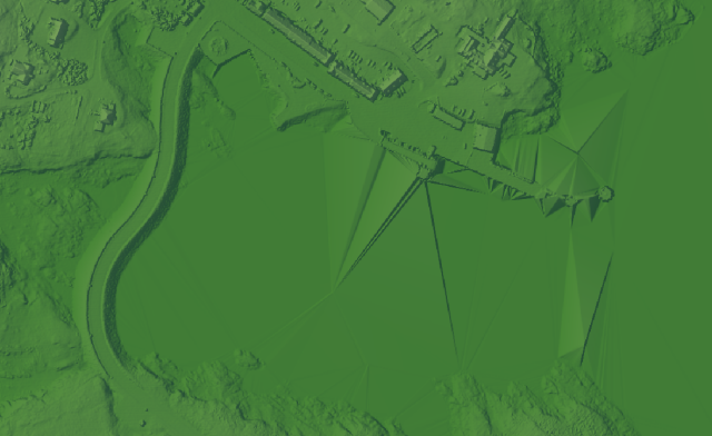
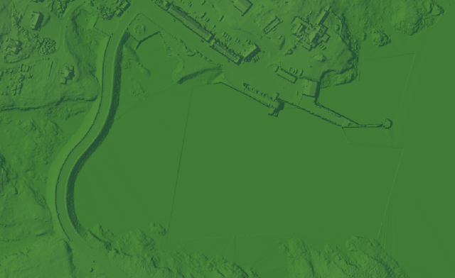
 of getting rid of those annoying triangular artifacts in Lidar-derived rasters? Or what causes them?
 I've found one technique: create a scratch polygon layer, draw polygons around the areas to patch, and use the whitebox tools 'Flatten Lakes' algorithm. It doesn't remove them completely, but they're much less noticable.
#qgis #GISChat #maps
