Search
Items tagged with: RStats
The package performs giver/recipient randomization and sends e-mails to everyone with their assignment.
I wrote it for my family's annual Secret Santa pool (sorry, still no unit tests). Happy to help you get set up if you need -- just don't ask me about gmail authentication! 😅
Happy giving! 🎅 ⛄ ❄️ 🎄
https://github.com/ataustin/secretsanta
#rstats

GitHub - ataustin/secretsanta: he's making a list, sampling it twice
he's making a list, sampling it twice. Contribute to ataustin/secretsanta development by creating an account on GitHub.GitHub

install.packages("stats19")
#rstats #geocompx #gischat #DataScience
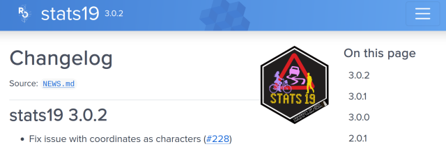
Work with Open Road Traffic Casualty Data from Great Britain
Tools to help download, process and analyse the UK road collision data collected using the STATS19 form.docs.ropensci.org

some wavy sine curves of the U.S.A., admittedly a rather liberal interpretation of analog
code: https://github.com/curatedmess/30DayMapChallenge/blob/main/2023/11052023/usa_waves.R
#rstats

https://eliocamp.github.io/codigo-r/en/2023/11/kriging-metr-r/
Consider this my entry for days 1-3 for #30DayMapChallenge
#RStats

Kriging with metR
Say you have data measured at different weather stations, which in Argentina might look something like this estaciones[data, on = c("nombre" = "station")] |> ggplot(aes(lon, lat)) + geom_point(aes(color = t)) + geom_sf(data = argentina_provincias, in…Code R
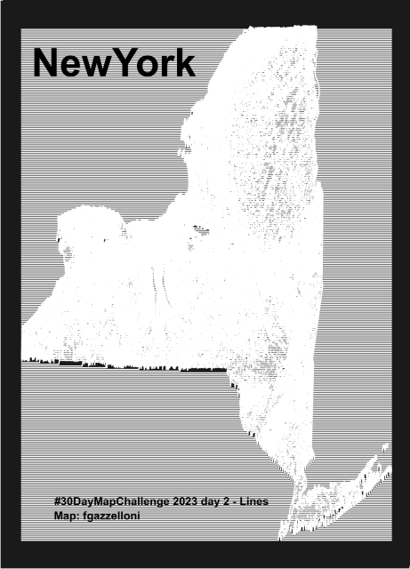
NewYork data from USDA NRCS Geospatial Data Gateway. Made with {topo.ridges} packages
Tools: #R
#rstats #datascience #Datavisualization #maps #infographics
#rayshader adventures, an #rstats tale


{rsi} helps you:
- Download data from STAC APIs
- Compute indices from the Awesome Spectral Indices project
- Wrangle multiple rasters into predictor bricks without duplicating data
Get the package (and leave us a star!) at:
https://github.com/Permian-Global-Research/rsi
Blog post hitting the highlights at:
https://www.mm218.dev/posts/2023-10-26-rsi/
#rspatial

GitHub - Permian-Global-Research/rsi: Code for handling Repeated Spatial Infelicities and interfacing with Rsome Spectral Indices
Code for handling Repeated Spatial Infelicities and interfacing with Rsome Spectral Indices - GitHub - Permian-Global-Research/rsi: Code for handling Repeated Spatial Infelicities and interfacing w...GitHub