Search
Items tagged with: download
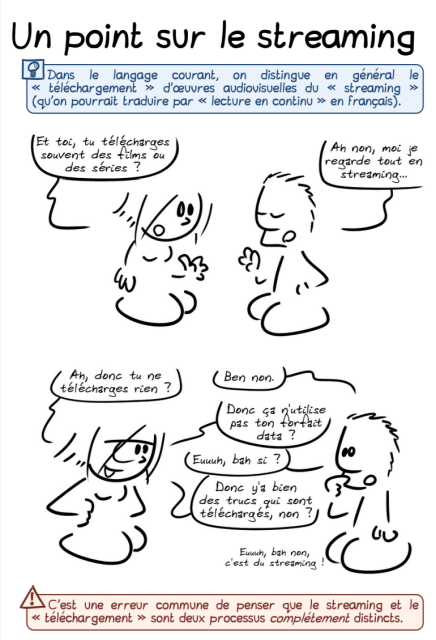
Facciamo il punto sullo streaming. L'ultimo fumetto di @gee « Un point sur le streaming »
https://grisebouille.net/un-point-sur-le-streaming
ci spiega in modo chiaro e dettagliato (in francese) in che cosa si somigliano e in cosa differiscono #download e #streaming di un #video e ci ricorda anche la funzione dei #DRM #saperi #fumetti #BD @macfranc @maupao @alephoto85 @mauriziocarnago
https://grisebouille.net/un-point-sur-le-streaming
ci spiega in modo chiaro e dettagliato (in francese) in che cosa si somigliano e in cosa differiscono #download e #streaming di un #video e ci ricorda anche la funzione dei #DRM #saperi #fumetti #BD @macfranc @maupao @alephoto85 @mauriziocarnago
Un point sur le streaming
Une BD qui n'apprendra sans doute pas grand-chose au cœur techno-enthousiaste de mon lectorat. Mais si ça peut remettre quelques trucs au clair pour d'autres, c'est toujours ça de pris !Grise Bouille
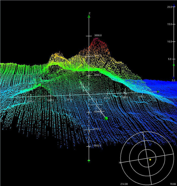
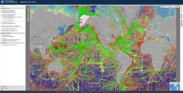
Bathymetric Data Viewer [global, NOAA]
--
https://www.ncei.noaa.gov/maps/bathymetry/ <-- spatial open data web portal
--
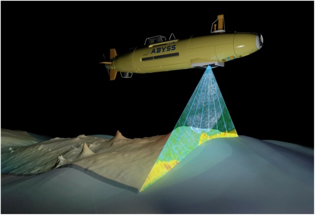
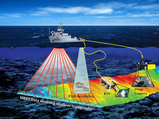
“NCEI and the IHO Data Center for Digital Bathymetry (DCDB) archive and share depth data acquired by hydrographic, oceanographic, and industry vessels and platforms during surveys or while on passage. These data, which are used in several national and international mapping bathymetry projects, are free to the public with no restrictions…”
#GIS #spatial #mapping #remotesensing #bathmetry #global #opendata #openaccess #download #NCEI #DCBD #NOAA #elevation #sonar #water #hydrography #hydrospatial #webportal #science #spatialanalysis #DEM #data #digital #multibeam #survey #visualisation #BAG #raster #GEBCO #GMRT #IBSCO #GSHHG
@NOAA @NCEI @GEBCO
--
https://www.ncei.noaa.gov/maps/bathymetry/ <-- spatial open data web portal
--
“NCEI and the IHO Data Center for Digital Bathymetry (DCDB) archive and share depth data acquired by hydrographic, oceanographic, and industry vessels and platforms during surveys or while on passage. These data, which are used in several national and international mapping bathymetry projects, are free to the public with no restrictions…”
#GIS #spatial #mapping #remotesensing #bathmetry #global #opendata #openaccess #download #NCEI #DCBD #NOAA #elevation #sonar #water #hydrography #hydrospatial #webportal #science #spatialanalysis #DEM #data #digital #multibeam #survey #visualisation #BAG #raster #GEBCO #GMRT #IBSCO #GSHHG
@NOAA @NCEI @GEBCO
