Search
Items tagged with: model
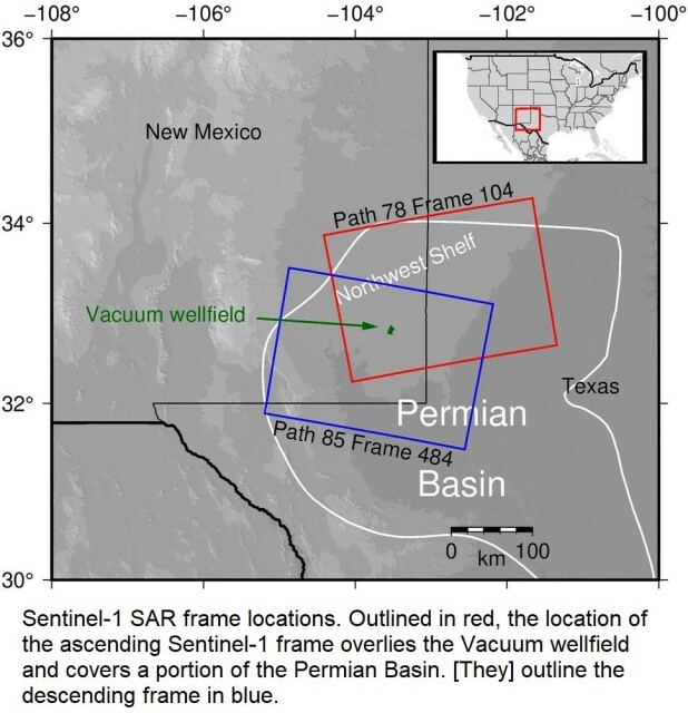
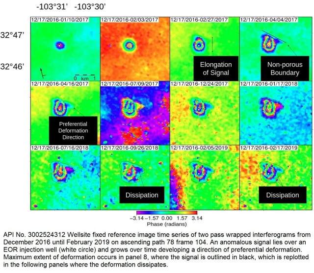
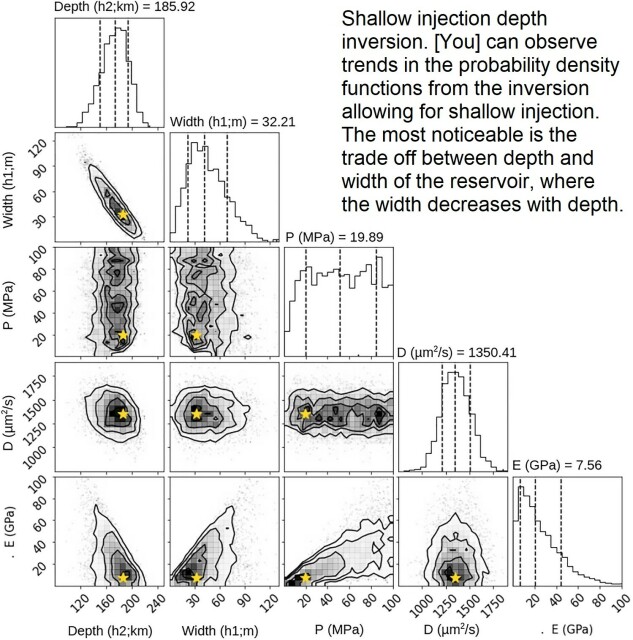
InSAR-Observed Surface Deformation In New Mexico’s Permian Basin Shows Threats And Opportunities Presented By Leaky Injection Wells [remote sensing]
--
https://www.nature.com/articles/s41598-023-42696-9 <-- shared paper
--
#GIS #spatial #mapping #remotesensing #InSAR #radar #deformation #NewMexico #aquifer #groundwater #waterresources #numericmodeling #model #modeling #injection #well #injectionwell #oilandgas #risk #hazard #grounddeformation #inducedseismicity #seismicity #surfacedeformation #waterresources #waterquality #watersecurity #water #hydrology
--
https://www.nature.com/articles/s41598-023-42696-9 <-- shared paper
--
#GIS #spatial #mapping #remotesensing #InSAR #radar #deformation #NewMexico #aquifer #groundwater #waterresources #numericmodeling #model #modeling #injection #well #injectionwell #oilandgas #risk #hazard #grounddeformation #inducedseismicity #seismicity #surfacedeformation #waterresources #waterquality #watersecurity #water #hydrology
InSAR-observed surface deformation in New Mexico’s Permian Basin shows threats and opportunities presented by leaky injection wells - Scientific Reports
Scientific Reports - InSAR-observed surface deformation in New Mexico’s Permian Basin shows threats and opportunities presented by leaky injection wellsNature
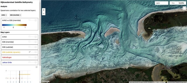
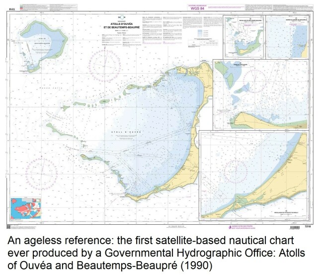
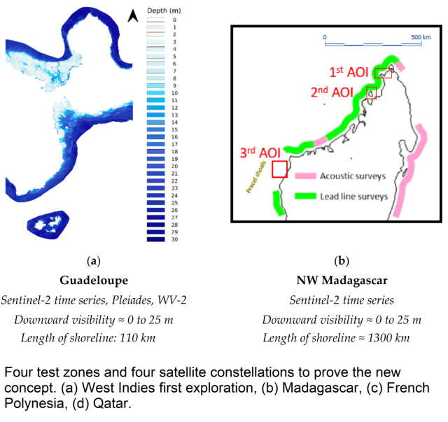
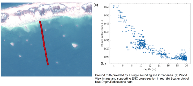
A New Approach To Satellite-Derived Bathymetry - An Exercise In Seabed 2030 Coastal Surveys
--
https://doi.org/10.3390/rs14184484 <-- shared paper
--
#GIS #spatial #mapping #satellitederivedbathymetry #SDB #nauticalcharting #machinelearning #IHOstandards #GEBCO #Seabed2030 #radiativetransferequation #RTE #remotesensing #satellite #model #modeling #hydrography #hydrospatial #marine #charts #navigation #nautical #gischat #bathymetry #topobathy #automation #ESA
--
https://doi.org/10.3390/rs14184484 <-- shared paper
--
#GIS #spatial #mapping #satellitederivedbathymetry #SDB #nauticalcharting #machinelearning #IHOstandards #GEBCO #Seabed2030 #radiativetransferequation #RTE #remotesensing #satellite #model #modeling #hydrography #hydrospatial #marine #charts #navigation #nautical #gischat #bathymetry #topobathy #automation #ESA
A New Approach to Satellite-Derived Bathymetry: An Exercise in Seabed 2030 Coastal Surveys
ARGANS has years of experience in analysing the factors limiting light transmission in coastal environments around the world.MDPI
