Search
Items tagged with: gischat
The app allows you to easily create styles for vector datasets based on the Mapbox Style Specification. You can host the styles on a server and easily import them into your #geo #webapp running #openlayers, #leaflet or any other library that supports style json's.
I worked on implementing styling based on property filters. Check out demo below.
It's work in progress. Will put this online in near future.
#gischat #OGC #gis #buildinpublic

install.packages("stats19")
#rstats #geocompx #gischat #DataScience
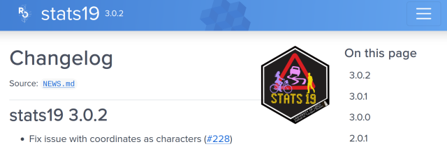
Work with Open Road Traffic Casualty Data from Great Britain
Tools to help download, process and analyse the UK road collision data collected using the STATS19 form.docs.ropensci.org
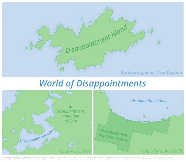
So much disappointment in just one map 😄🗺️
Tools: QGIS, Inkscape
Data: LINZ Data Service, OSM, Minnesota Department of Natural Resources.
#gischat
For the past 2 weeks or so we’ve had an ongoing earthquake swarm very close to the town of Grindavík in the Reykjanes Peninsula. The swarm is very likely caused by an inflating magma body currently at about 5 km depth. The shape of the body is most likely a flat sill expanding and causing earthquakes. These events might lead to an eruption very close to people’s homes and lots of infrastructure.
1/6

Reached the end of the line with your #GeoPandas plots? Replace them with maps rendered by QGIS.
http://anitagraser.com/2023/11/10/bringing-qgis-maps-into-jupyter-notebooks/
#maps #GISChat #DataScience #SpatialDataScience #DataViz #GIS

Bringing QGIS maps into Jupyter notebooks
Earlier this year, we explored how to use PyQGIS in Juypter notebooks to run QGIS Processing tools from a notebook and visualize the Processing results using GeoPandas plots. Today, we’ll go …Free and Open Source GIS Ramblings
https://www.smbc-comics.com/comic/bah-4
#gischat


"Fundamentals of #RemoteSensing"
Part 1: History & Practice https://zenodo.org/records/3265399
and
Part 2: Practice Book using #QGIS https://zenodo.org/records/6539257
#OSGeo #OpenSource #openbooks #GISChat
Fundamentals of remote sensing: history and practice
This Guidance Manual introduces readers to the history of development, physi‑cal basics and areas of application of the remote sensing data.Zenodo
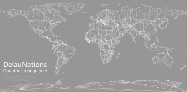
DelauNations - A Delaunay triangulation of country borders 📐🗺️
Tools: #QGIS
Data: Natural Earth
#gischat