Search
Items tagged with: opendata
#opendata #gischat
#GIS #QGIS #citizenscience
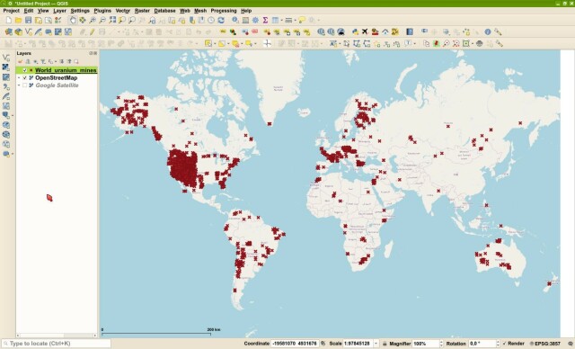
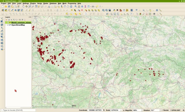
https://github.com/juhele/opengeodata/tree/master/Open_geodataset_of_uranium_mines_and_deposits
It aims to raise awareness of the importance of managing rights & obligations related to #FreeSoftware, #OpenData & #OpenHardware, in ecosystems of constant innovation.
https://zooom4u.eu/
#GIS #QGIS #citizenscience
https://github.com/juhele/opengeodata/tree/master/Open_geodataset_of_uranium_mines_and_deposits
GitHub - opengeos/segment-geospatial: A Python package for segmenting geospatial data with the Segment Anything Model (SAM)
A Python package for segmenting geospatial data with the Segment Anything Model (SAM) - GitHub - opengeos/segment-geospatial: A Python package for segmenting geospatial data with the Segment Anythi...GitHub
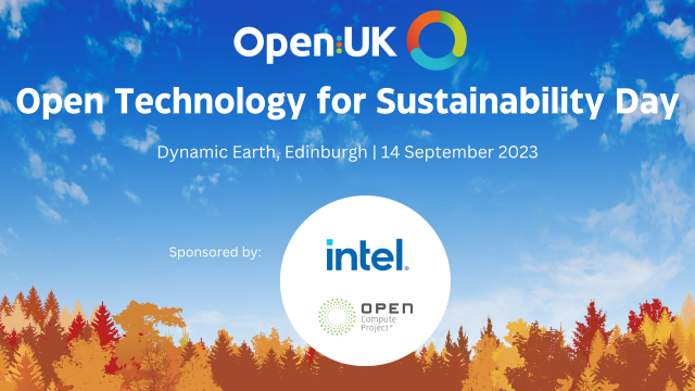
https://sessionize.com/open-technology-for-sustainability-day/
#opendata #openhardware #Sustainability #cop28 #copen
Open Technology for Sustainability Day: Call for Speakers
OpenUK’s Open Technology for Sustainability Day will build on its setting the Sustainability Agenda in Open Technology from its appointment of the fir...sessionize.com
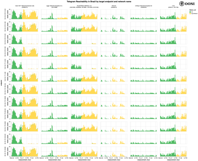
https://ooni.org/post/2023-brazil-telegram/
In our report we share OONI data on the ongoing blocking of Telegram in #Brazil.
The block was not implemented by all ISPs, while the blocking of Telegram endpoints varies across networks.
#ooni #report #research #opendata #censorship #telegram
Brazil: OONI data on the blocking of Telegram
This report shares OONI data on the blocking of Telegram in Brazil.ooni.org
--
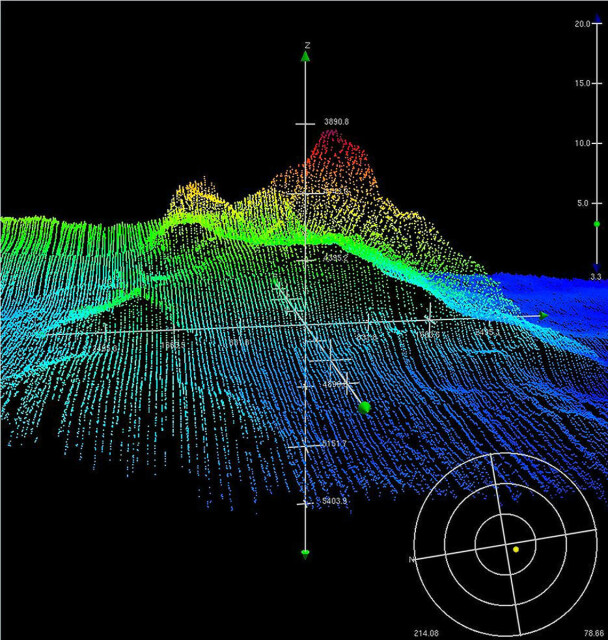
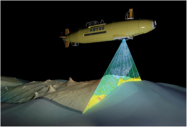
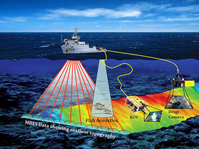
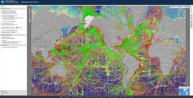
https://www.ncei.noaa.gov/maps/bathymetry/ <-- spatial open data web portal
--
“NCEI and the IHO Data Center for Digital Bathymetry (DCDB) archive and share depth data acquired by hydrographic, oceanographic, and industry vessels and platforms during surveys or while on passage. These data, which are used in several national and international mapping bathymetry projects, are free to the public with no restrictions…”
#GIS #spatial #mapping #remotesensing #bathmetry #global #opendata #openaccess #download #NCEI #DCBD #NOAA #elevation #sonar #water #hydrography #hydrospatial #webportal #science #spatialanalysis #DEM #data #digital #multibeam #survey #visualisation #BAG #raster #GEBCO #GMRT #IBSCO #GSHHG
@NOAA @NCEI @GEBCO
@eticadigitale
Ecco i moduli:
Cosa sono gli #OpenData
Liberare valore
Agente di cambiamento
Perché assegnare una licenza
La qualità dei dati
Successo delle iniziative
Sostenibilità
Piattaforme
Formato
Dati utili
Pulire i dati
Dati nascosti sul web
Collegamenti ai dati del web
Supportare e gestire il cambiamento
https://data.europa.eu/elearning/it/#/id/co-01
#FreeSoftware #FLOSS #OpenData #OpenStreetMap #cartography #maps

MapLibre (@maplibre@mastodon.social)
1 Post, 0 Following, 11 Followers · Open-source mapping libraries for web and mobile app developers.Mastodon
