Search
Items tagged with: remotesensing
Developer of the open source "Semi-Automatic Classification Plugin" (https://github.com/semiautomaticgit/SemiAutomaticClassificationPlugin) for #QGIS and "Remotior Sensus" (https://github.com/semiautomaticgit/remotior_sensus) package for #python
#introductions
GitHub - semiautomaticgit/SemiAutomaticClassificationPlugin
Contribute to semiautomaticgit/SemiAutomaticClassificationPlugin development by creating an account on GitHub.GitHub
I'm curious why it hasn't been a big fuzz for the #geospatial people #deeplearning #remotesensing
It has been published under open licenses #odbl and #CCby4, choose your flavor.
https://sites.research.google/open-buildings/#explore
The Remote Sensing from Space team at the Royal Meteorological Institute of Belgium is hiring a project scientist!
Tasks: remote-sensing + radiative transfer. In context of
E-CONTRAIL project https://www.econtrail.com/ : detection and climate impact of contrails.
https://meteo.be/en/info/news-resume/scientific-assistant-for-the-remote-sensing-team-for-the-e-contrail-project
#RemoteSensing #Contrail
(apply before august 27 / duration about 20 months / Uccle, Belgium)
GitHub - opengeos/segment-geospatial: A Python package for segmenting geospatial data with the Segment Anything Model (SAM)
A Python package for segmenting geospatial data with the Segment Anything Model (SAM) - GitHub - opengeos/segment-geospatial: A Python package for segmenting geospatial data with the Segment Anythi...GitHub
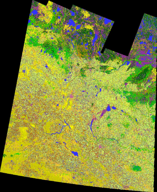
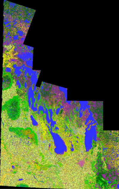
2022 Crop Inventory maps for both Saskatchewan & Manitoba are done. #SKAg #MBAg #WestCdnAg
https://open.canada.ca/data/en/dataset/ba2645d5-4458-414d-b196-6303ac06c1c9
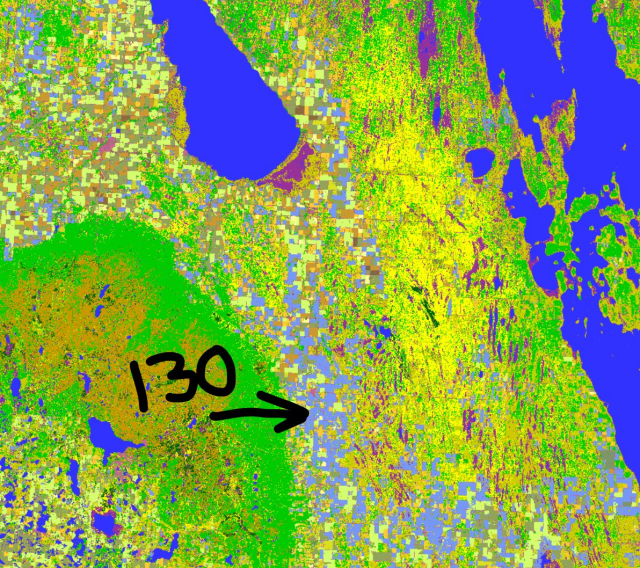
Keen observers will note class 130 in our MB map (periwinkle colour). 130 shows our 'too wet to seed' class.
#CdnAg #cropmap22 #earthobservation #remotesensing #geomatics #agriculture
At the moment this episode goes up the deal isn't closed, so many topics cannot be discussed. It doesn't change the story of these projects & how Sinergise got to where it is today
You can watch the full interview here: https://youtu.be/z713Pc_Ml0U
#geospatial #maps #remotesensing #earthobservation
Grega Milčinski: Making Free & Open Satellite Imagery Actually Accessible - MBM#42
Support the podcast on Patreon: https://www.patreon.com/mindsbehindmapsGrega Milčinski is the founder of Sinergise, the company behind Sentinel Hub & EO Brow...YouTube
--
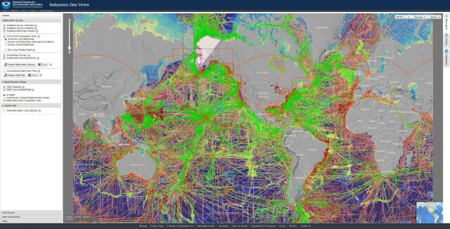
https://www.ncei.noaa.gov/maps/bathymetry/ <-- spatial open data web portal
--
“NCEI and the IHO Data Center for Digital Bathymetry (DCDB) archive and share depth data acquired by hydrographic, oceanographic, and industry vessels and platforms during surveys or while on passage. These data, which are used in several national and international mapping bathymetry projects, are free to the public with no restrictions…”
#GIS #spatial #mapping #remotesensing #bathmetry #global #opendata #openaccess #download #NCEI #DCBD #NOAA #elevation #sonar #water #hydrography #hydrospatial #webportal #science #spatialanalysis #DEM #data #digital #multibeam #survey #visualisation #BAG #raster #GEBCO #GMRT #IBSCO #GSHHG
@NOAA @NCEI @GEBCO
https://whiteboxgeo.com/download-whiteboxtools/
#gis #gischat #geospatial #opensource #remotesensing #LiDARRocks
WhiteboxTools: Download WhiteboxTools - Whitebox Geospatial Inc
Download WhiteboxTools v2.3 for your Windows, Linux &/or MacOS operating system. WhiteboxTools is an advanced geospatial data analysis engine.Whitebox Geospatial Inc
--
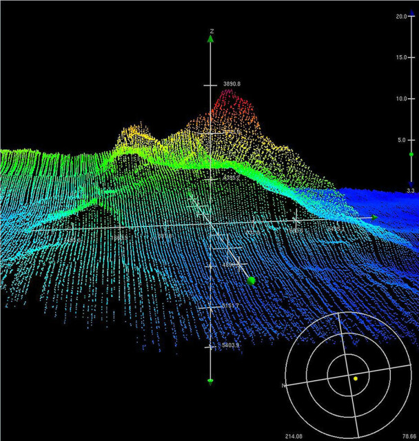
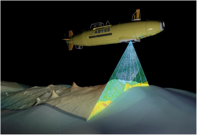
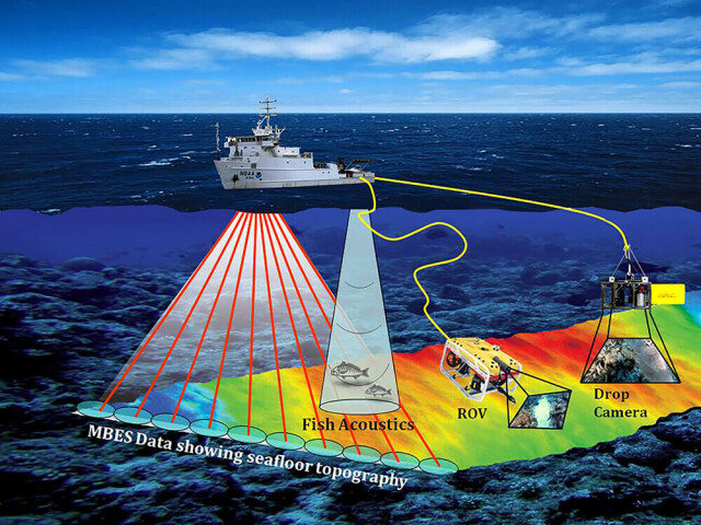
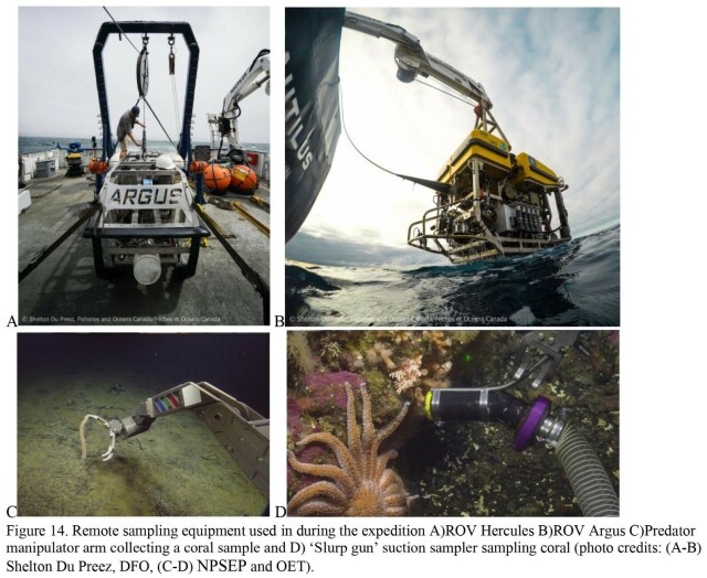
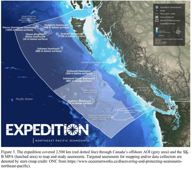
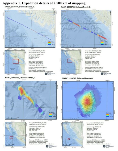
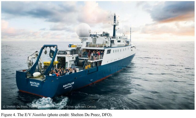
https://publications.gc.ca/collections/collection_2022/mpo-dfo/Fs97-6-3460-eng.pdf <-- their shared report as a PDF
--
[Tang.ɢwan – ḥačxwiqak – Tsig̱is Area of Interest (TḥT AOI)]
#environmental #marine #mining #data #management #environment #biodiversity #canada #offshore #GIS #spatial #mapping #remotesensing #sonar #bathymetry #bathymetric #britishcolumbia #seafloor #seamounts #HaidaNation #NPSEP #ocean #oceanconservation #oceanography #survey #expedition #research #rov #underwater
Fisheries and Oceans Canada


